Needles Ferry, Fauquier
Map

Map

Facts and practical information
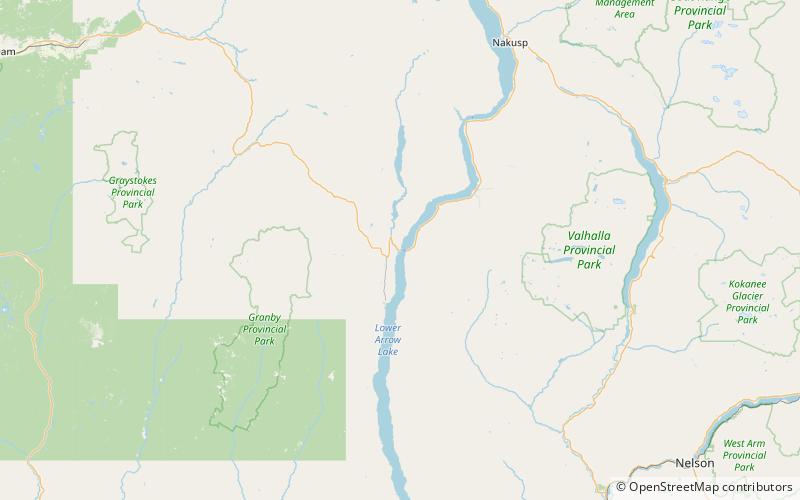
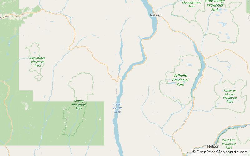
The Needles Ferry is a cable ferry across Lower Arrow Lake in the West Kootenay region of southeastern British Columbia. Linking Needles and Fauquier, the ferry, part of BC Highway 6, is by road about 135 kilometres southeast of Vernon and 57 kilometres southwest of Nakusp. ()
Elevation: 1552 ft a.s.l.Coordinates: 49°52'24"N, 118°6'4"W
Day trips
Needles Ferry – popular in the area (distance from the attraction)
Nearby attractions include: Arrow Lakes Provincial Park.

