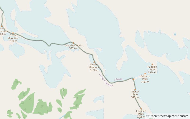
Farbus Mountain, Banff National Park
Map

Map

Facts and practical information
Farbus Mountain is located on the provincial border of Alberta and British Columbia in Banff National Park. It was named in 1918 after Farbus, a village on the eastern slopes of Vimy Ridge in France.In the Battle of Vimy Ridge, Canadian troops retook Farbus from German control on April 9, 1917 as part of securing the Brown Line objective. ()
First ascent: 1937Elevation: 10515 ftProminence: 673 ftCoordinates: 51°57'56"N, 117°7'52"W
Address
Banff National Park
ContactAdd
Social media
Add
Day trips
Farbus Mountain – popular in the area (distance from the attraction)
Nearby attractions include: Walter Peak, Oppy Mountain, Ernest Peak, Mount Lyell.


