Table Rock, Niagara Falls
Map

Map

Facts and practical information
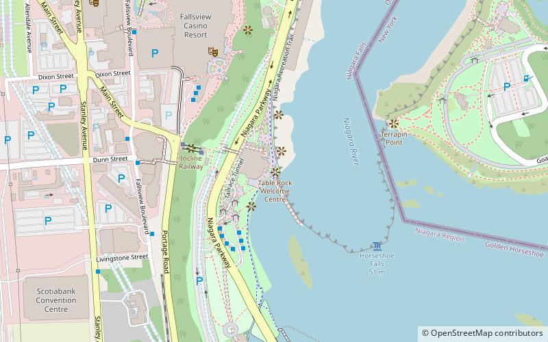
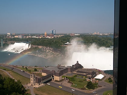
Table Rock was a large shelf of rock that jutted out from the Canadian shore of Niagara Falls, Ontario, just north of the present day observation and commercial complex. Revealed in the mid-18th century as the Horseshoe Falls receded, Table Rock was the first major vantage point for tourists of the early and mid-19th century. ()
Coordinates: 43°4'44"N, 79°4'42"W
Address
Niagara PkwyQueen Victoria (Victoria)Niagara Falls
ContactAdd
Social media
Add
Day trips
Table Rock – popular in the area (distance from the attraction)
Nearby attractions include: Horseshoe Falls, Skylon Tower, Journey Behind the Falls, Clifton Hill.
Frequently Asked Questions (FAQ)
Which popular attractions are close to Table Rock?
Nearby attractions include Journey Behind the Falls, Niagara Falls (1 min walk), Table Rock Welcome Centre, Niagara Falls (1 min walk), Queen Victoria Park, Niagara Falls (2 min walk), Incline Railway, Niagara Falls (4 min walk).
How to get to Table Rock by public transport?
The nearest stations to Table Rock:
Bus
Bus
- WEGO - Table Rock Centre Sration (3 min walk)
- Fallsview Casino (5 min walk)


