Victoria School, Saskatoon
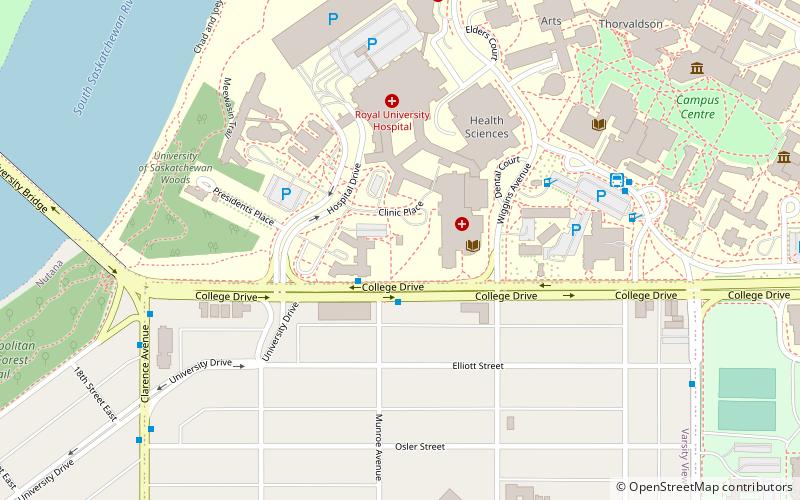
Map

Map

Facts and practical information
Completed: 1888 (138 years ago)Coordinates: 52°7'46"N, 106°38'28"W
Address
University HeightsSaskatoon
ContactAdd
Social media
Add
Day trips
Victoria School – popular in the area (distance from the attraction)
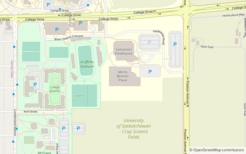
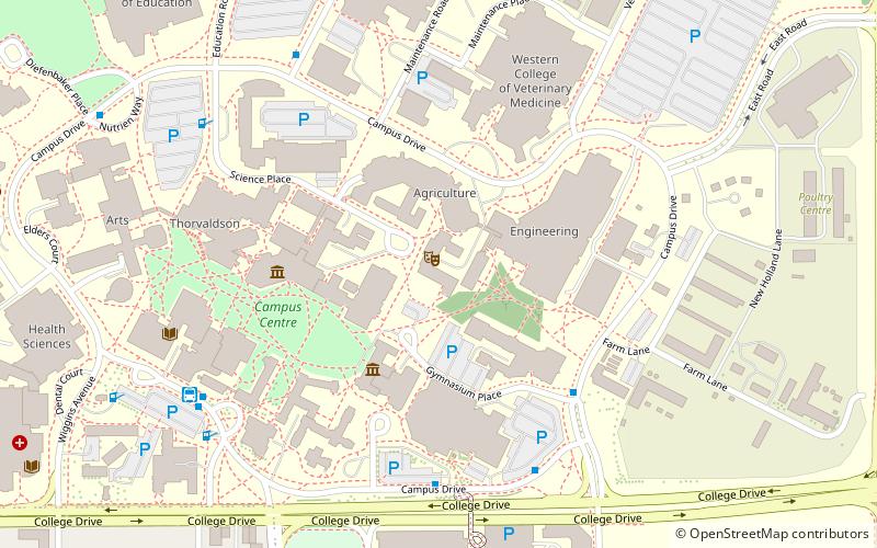
Nearby attractions include: Diefenbaker Canada Centre, Broadway Theatre, Cathedral of St. John the Evangelist, Merlis Belsher Place.
Frequently Asked Questions (FAQ)
Which popular attractions are close to Victoria School?
Nearby attractions include Saskatoon Theological Union, Saskatoon (2 min walk), Memorial Gates, Saskatoon (3 min walk), St. Thomas More College, Saskatoon (5 min walk), Diefenbaker Canada Centre, Saskatoon (8 min walk).
How to get to Victoria School by public transport?
The nearest stations to Victoria School:
Bus
Bus
- College Drive & Munroe Avenue • Lines: 13, 17, 6 (2 min walk)
- University/Place Riel Transit Terminal • Lines: 13, 17, 6, 81, 82 (6 min walk)


