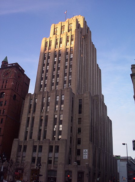
Aldred Building, Montreal

Gallery (2)
Map
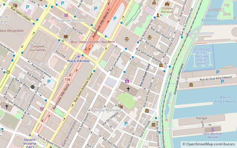
Map
Gallery
Facts and practical information
The Aldred Building is an Art deco building on the historic Place d'Armes square in the Old Montreal quarter of Montreal, Quebec, Canada. ()
Alternative names: Completed: 1931 (95 years ago)Architectural style: Art DecoFloors: 23Coordinates: 45°30'19"N, 73°33'24"W
Address
Ville-Marie District (Vieux-Montréal)Montreal
ContactAdd
Social media
Add
Getting there by public transportation
Public transportation stops near this location
- Metro
- Bus
- Train
 Metro
Metro
- Calculate routeNotre-Dame / Saint-Sulpice 1 min walk
- Calculate routeSaint-Antoine / Saint-Urbain 3 min walk
- Calculate routeSaint-Laurent / Saint-Jacques 3 min walk
- Calculate routePalais de justice 4 min walk
- Calculate routePlace d’Armes 4 min walk
- Calculate routeChamp-de-Mars 9 min walk
- Calculate routeSquare-Victoria-OACI 10 min walk
- Calculate routeSaint-Laurent 15 min walk
- Calculate routeMontreal Central Station 16 min walk
- Calculate routeLucien-L'Allier 27 min walk
Maps Metro
Metro
MetroDay trips
Aldred Building – popular in the area (distance from the attraction)
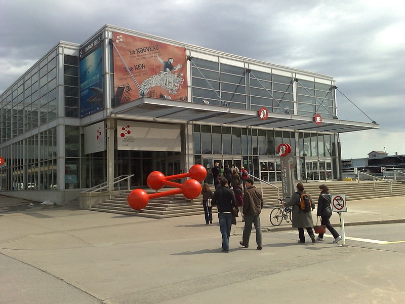
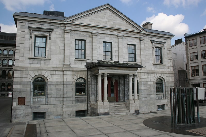
Nearby attractions include: Montreal Science Centre, Pointe-à-Callière, Notre-Dame Basilica, Complexe Guy-Favreau.


Frequently Asked Questions (FAQ)
Which popular attractions are close to Aldred Building?
Nearby attractions include Maisonneuve Monument, Montreal (2 min walk), Notre-Dame Street, Montreal (2 min walk), Notre-Dame Basilica, Montreal (2 min walk), Saint Jacques Street, Montreal (2 min walk).
How to get to Aldred Building by public transport?
The nearest stations to Aldred Building:
Bus
Metro
Train
Bus
- Notre-Dame / Saint-Sulpice • Lines: 55-S (1 min walk)
- Saint-Antoine / Saint-Urbain • Lines: 129-S (3 min walk)
Metro
- Place d’Armes • Lines: 2 (4 min walk)
- Champ-de-Mars • Lines: 2 (9 min walk)
Train
- Montreal Central Station (16 min walk)
- Lucien-L'Allier (27 min walk)