Bannerman Park, St. John's
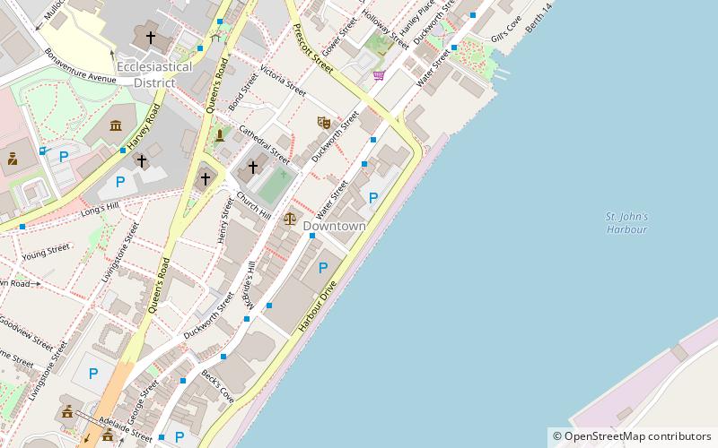
Map
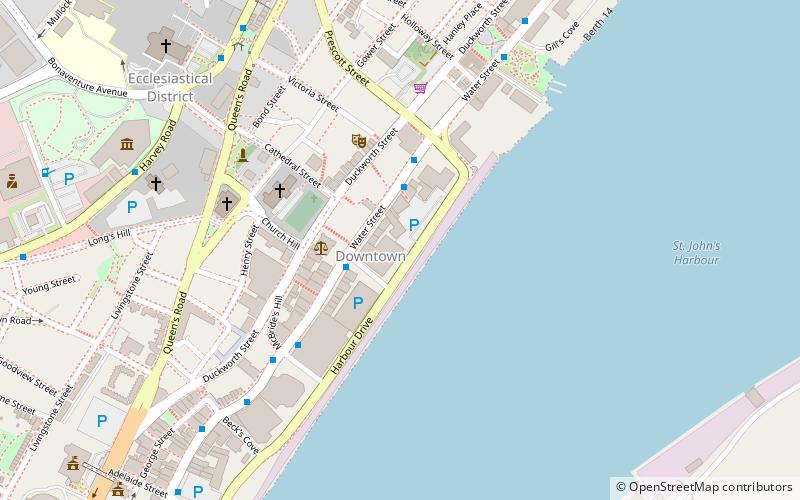
Map

Facts and practical information
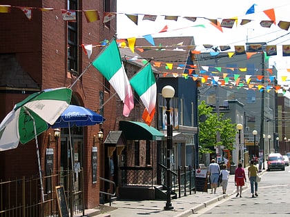
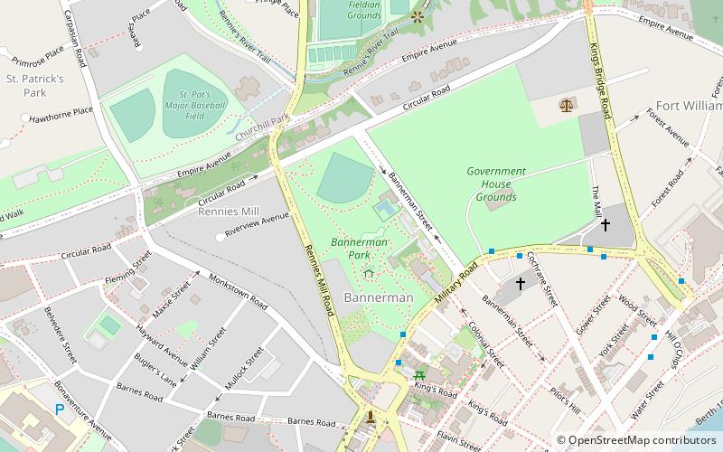
Bannerman Park is a Victorian era urban park located in St. John's, Newfoundland and Labrador. The park is named for Sir Alexander Bannerman, Governor of the Colony of Newfoundland from 1857 to 1864, who assented to an Act establishing the park and donated land for the purpose in 1864. The park occupies the city block bounded by Bannerman Road, Military Road, Rennie's Mill Road, and Circular Road excluding several residential lots carved out of the southwest corner. ()
Elevation: 128 ft a.s.l.Coordinates: 47°34'18"N, 52°42'30"W
Day trips
Bannerman Park – popular in the area (distance from the attraction)
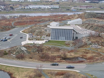
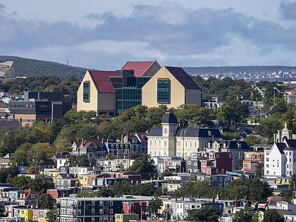
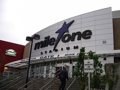
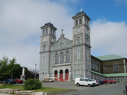
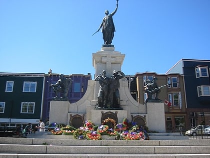
Nearby attractions include: Johnson Geo Centre, The Rooms, Mary Brown's Centre, Basilica of St. John the Baptist.
Frequently Asked Questions (FAQ)
When is Bannerman Park open?
Bannerman Park is open:
- Monday 8:30 am - 5 pm
- Tuesday 8:30 am - 5 pm
- Wednesday 8:30 am - 5 pm
- Thursday 8:30 am - 5 pm
- Friday 8:30 am - 5 pm
- Saturday closed
- Sunday closed
Which popular attractions are close to Bannerman Park?
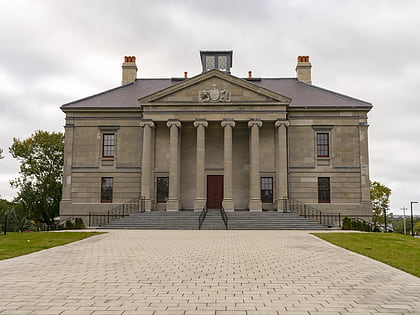
Nearby attractions include Colonial Building, St. John's (3 min walk), Rawlins Cross, St. John's (6 min walk), Basilica of St. John the Baptist, St. John's (8 min walk), St. John's Ecclesiastical District, St. John's (9 min walk).

