Dundonald Park, Ottawa
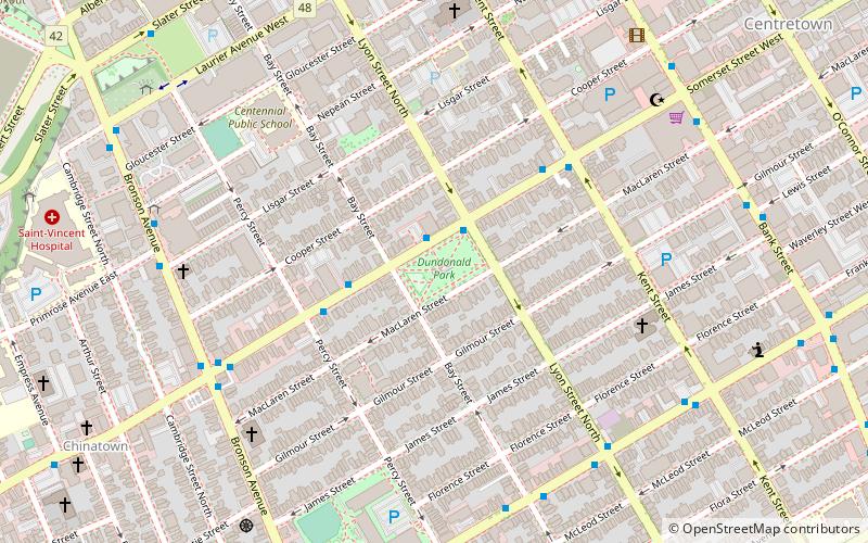
Map
Gallery
Facts and practical information
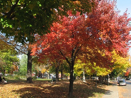
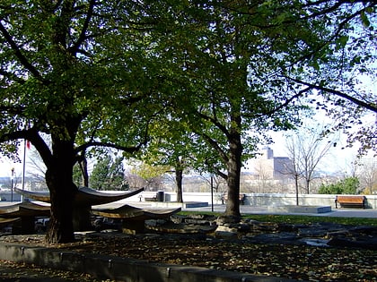
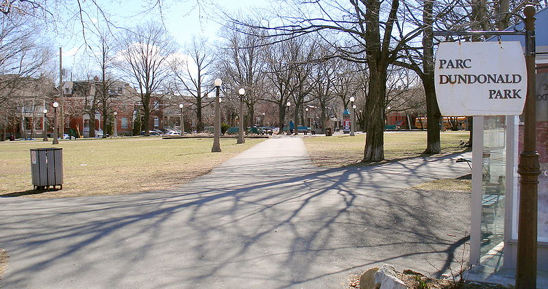
Dundonald Park is located in the Centretown neighbourhood of Ottawa, Ontario, Canada. It occupies a city block, with Somerset Street West to the north, Bay Street to the west, MacLaren Street to the south, and Lyon Street to the east. It was named after Douglas Cochrane, 12th Earl of Dundonald, who was the last British officer to command the Canadian militia. ()
Elevation: 262 ft a.s.l.Coordinates: 45°24'46"N, 75°42'5"W
Day trips
Dundonald Park – popular in the area (distance from the attraction)
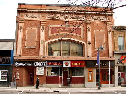
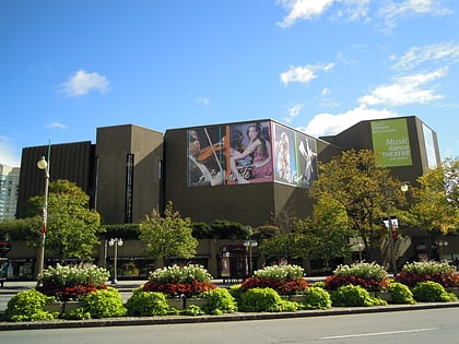
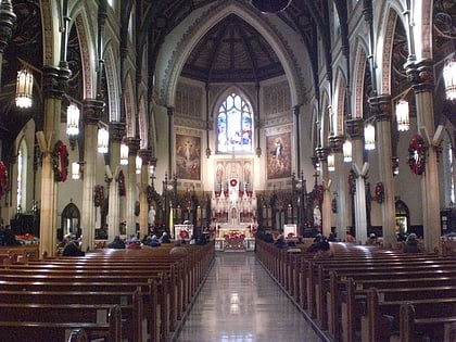
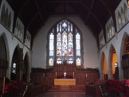
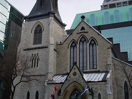
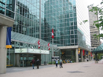
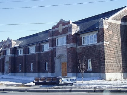
Nearby attractions include: Barrymore's, National Arts Centre, St Patrick's Basilica, Christ Church Cathedral.
Frequently Asked Questions (FAQ)
Which popular attractions are close to Dundonald Park?
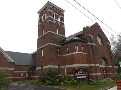
Nearby attractions include St. Barnabas, Ottawa (6 min walk), St Patrick's Basilica, Ottawa (7 min walk), Bronson Centre, Ottawa (7 min walk), First United Church, Ottawa (7 min walk).
How to get to Dundonald Park by public transport?
The nearest stations to Dundonald Park:
Bus
Light rail
Bus
- Somerset W / Lyon • Lines: 11 (1 min walk)
Light rail
- Lyon A • Lines: 1 (12 min walk)
- Lyon B • Lines: 1 (12 min walk)
