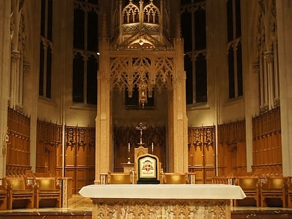
Central Presbyterian Church, Hamilton
Map
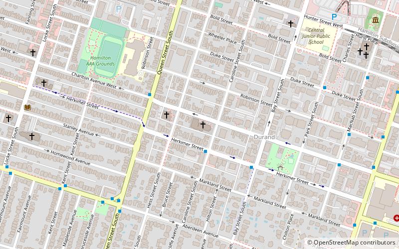
Map

Facts and practical information
Central Presbyterian Church is a Presbyterian Church in Canada congregation in Hamilton, Ontario, Canada, located in the downtown area at the corner of Charlton and Caroline Street South. ()
Coordinates: 43°15'5"N, 79°52'47"W
Address
165 Charlton Ave WDowntown Hamilton (Durand)Hamilton L8P 2C8
Contact
+1 905-522-9098
Social media
Add
Day trips
Central Presbyterian Church – popular in the area (distance from the attraction)
Nearby attractions include: FirstOntario Centre, Canadian Football Hall of Fame, Landmark, Hamilton Farmer's Market.
Frequently Asked Questions (FAQ)
Which popular attractions are close to Central Presbyterian Church?
Nearby attractions include Arctic Experience McNaught Gallery, Hamilton (11 min walk), Hamilton City Hall, Hamilton (11 min walk), Whitehern, Hamilton (12 min walk), Canadian Football Hall of Fame, Hamilton (12 min walk).
How to get to Central Presbyterian Church by public transport?
The nearest stations to Central Presbyterian Church:
Bus
Train
Bus
- Aberdeen at Queen • Lines: 6 (7 min walk)
- Main at Caroline • Lines: 1A, 5, 51, 5A (11 min walk)
Train
- Hamilton GO Centre (14 min walk)
- West Harbour (33 min walk)


