Wallace Island Marine Provincial Park

Map
Facts and practical information
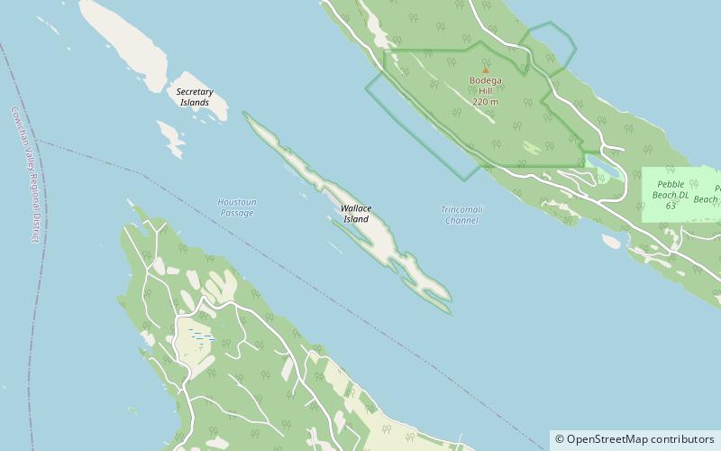
Wallace Island Marine Provincial Park is a provincial park in the Gulf Islands of British Columbia, Canada. The park includes almost all 72 hectares of Wallace Island. Land on the northern side of Princess Cove extending north towards Chivers is private. This long, thin island lies in Trincomali Channel south-west of Galiano Island, and about 2 km northeast of Saltspring Island. There are a few hiking trails, and camping is permitted in designated areas. ()
Established: 1990 (36 years ago)Area: 217.45 acres (0.3398 mi²)Elevation: 75 ft a.s.l.Coordinates: 48°56'33"N, 123°33'7"W
Day trips
Wallace Island Marine Provincial Park – popular in the area (distance from the attraction)
Nearby attractions include: Bodega Ridge Provincial Park, Dionisio Point Provincial Park, Blue Horse Folk Art Gallery, Vesuvius.


