Government House, Quebec City
Map

Gallery

Facts and practical information
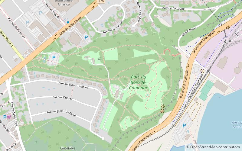
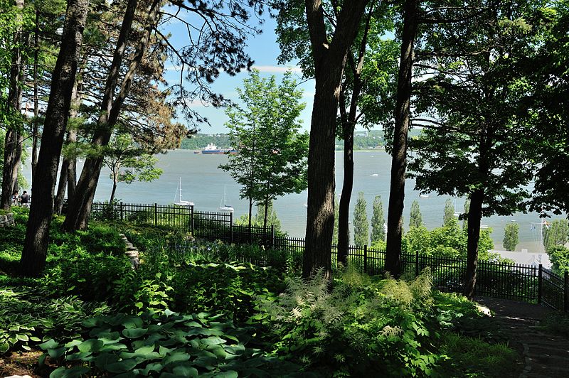
Quebec's Government House, known as Spencer Wood, was the viceregal residence of Quebec. It was built in 1854. Located at Bois-de-Coulonge Park in Sillery, it was purchased by the Quebec government in 1870, and served as the residence of Quebec lieutenant governors until 1966, when a major fire destroyed the main residence. ()
Day trips
Government House – popular in the area (distance from the attraction)
Nearby attractions include: Musée national des beaux-arts du Québec, Mount Hermon Cemetery, Plains of Abraham, St. Michel de Sillery Church.
Frequently Asked Questions (FAQ)
Which popular attractions are close to Government House?
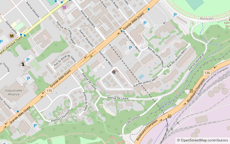
Nearby attractions include Sillery Heritage Site, Quebec City (9 min walk), Beth Israel Ohev Sholom Congregation, Quebec City (10 min walk), Mount Hermon Cemetery, Quebec City (20 min walk), Parc des Braves, Quebec City (24 min walk).
How to get to Government House by public transport?
The nearest stations to Government House:
Bus
Bus
- Saint-Charles-Garnier • Lines: 800, 801 (13 min walk)
- Holland • Lines: 800, 801 (13 min walk)


