Leaside Bridge, Toronto
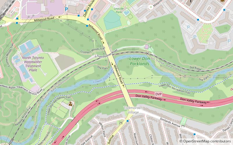
Map
Gallery
Facts and practical information
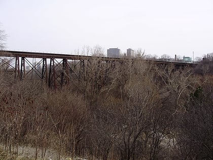
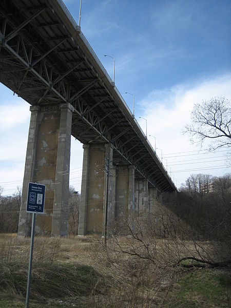
The Leaside Bridge, formerly the East York Leaside Viaduct, and officially commemorated as the Confederation Bridge, spans the Don River in the City of Toronto, Ontario. The Truss bridge carrying Millwood Road was built to connect the then Town of Leaside, including Thorncliffe Park, to the then Township of East York, and was completed on October 29, 1927. The construction time of only 10 months was record breaking at the time. ()
Opened: 29 October 1927 (98 years ago)Length: 1443 ftCoordinates: 43°41'57"N, 79°21'1"W
Address
East York (Old East York)Toronto
ContactAdd
Social media
Add
Day trips
Leaside Bridge – popular in the area (distance from the attraction)
Nearby attractions include: Ontario Science Centre, East York Town Centre, Evergreen Brick Works, St. Clement of Ohrid Macedonian Orthodox Cathedral.
Frequently Asked Questions (FAQ)
Which popular attractions are close to Leaside Bridge?
Nearby attractions include Crothers Woods, Toronto (11 min walk), Thorncliffe Park, Toronto (12 min walk), Donlands Theatre, Toronto (14 min walk), Pape Village, Toronto (18 min walk).
How to get to Leaside Bridge by public transport?
The nearest stations to Leaside Bridge:
Bus
Metro
Bus
- Woodycrest Avenue • Lines: 62 (24 min walk)
- Dewhurst Boulevard • Lines: 62 (24 min walk)
Metro
- Greenwood • Lines: 2 (39 min walk)

 Subway
 Streetcar system
 PATH
PATH
