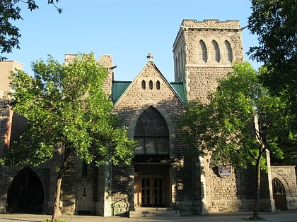
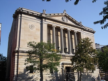
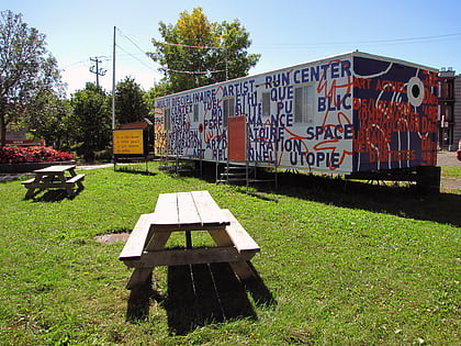
Westmount City Hall, Montreal
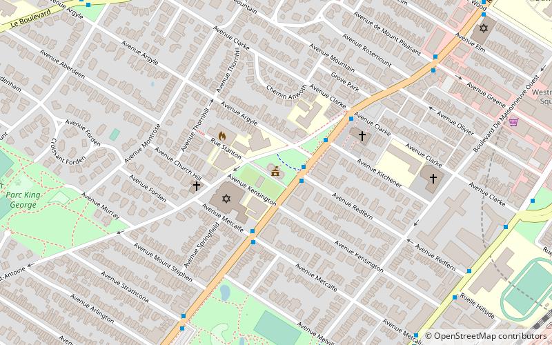
Map
Gallery
Facts and practical information
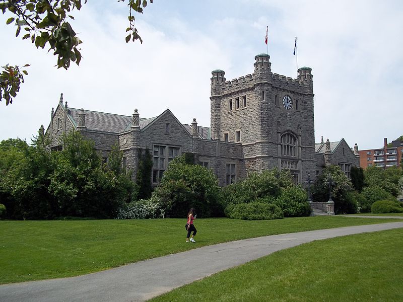
Westmount City Hall is the seat of local government in Westmount, Quebec, Canada. It is located at 4333 Sherbrooke Street West below Côte Saint Antoine Road. ()
Opened: 1922 (104 years ago)Coordinates: 45°29'8"N, 73°35'48"W
Day trips
Westmount City Hall – popular in the area (distance from the attraction)
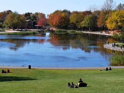
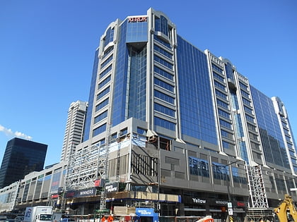
Nearby attractions include: Canadian Centre for Architecture, Greene Avenue, Beaver Lake, Alexis Nihon Complex.
Frequently Asked Questions (FAQ)
Which popular attractions are close to Westmount City Hall?
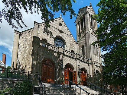
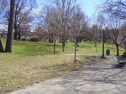
Nearby attractions include Congregation Shaar Hashomayim, Montreal (3 min walk), Montreal/Westmount–Notre-Dame-de-Grâce, Montreal (6 min walk), Church of Saint-Léon-de-Westmount, Montreal (7 min walk), Westmount Park, Montreal (8 min walk).
How to get to Westmount City Hall by public transport?
The nearest stations to Westmount City Hall:
Bus
Metro
Train
Bus
- Sherbrooke / Redfern • Lines: 104-E, 104-O, 138-E, 138-O, 24-E, 24-O (2 min walk)
- Sherbrooke / Kitchener • Lines: 104-O, 138-O, 24-O (3 min walk)
Metro
- Atwater • Lines: 1 (15 min walk)
- Place Saint-Henri • Lines: 2 (20 min walk)
Train
- Vendôme (23 min walk)
 Metro
Metro

