Larwill Park, Vancouver
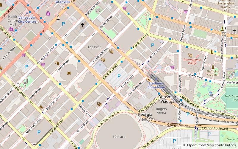
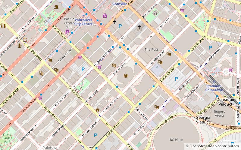
Map
Facts and practical information
Larwill Park, also known as the Cambie Street Grounds, is a former park and sporting field in what is now downtown Vancouver, British Columbia, Canada. Larwill Park was the location of the bus depot of Pacific Coach Stage Lines and Greyhound Bus Lines from World War II until 1993, when the bus depot moved to Pacific Central Station. Since then, Larwill Park has been a parking lot. The Vancouver Art Gallery has selected it for the location of a new museum building. ()
Elevation: 75 ft a.s.l.Coordinates: 49°16'47"N, 123°6'43"W
Getting there by public transportation
Public transportation stops near this location
- Metro
- Bus
- Trolleybus
- Train
- Ferry
 Metro
Metro
- Calculate routeNorth Shore TransLink Layover 1 min walk
- Calculate routeDunsmuir Street at Cambie Street 3 min walk
- Calculate routeWest Georgia St at Hamilton St 3 min walk
- Calculate routeWest Pender St at Hamilton St 5 min walk
- Calculate routeCambie St at Dunsmuir St 2 min walk
- Calculate routeCambie Street at West Georgia Street 3 min walk
- Calculate routeCambie Street at Robson Street 4 min walk
- Calculate routeWest Pender St at Hamilton St 5 min walk
- Calculate routeStadium–Chinatown 4 min walk
- Calculate routeGranville 8 min walk
- Calculate routeVancouver City Centre 10 min walk
- Calculate routeWaterfront 12 min walk
- Calculate routePlaza of Nations Dock 10 min walk
- Calculate routeWaterfront 14 min walk
- Calculate routeVillage Dock 15 min walk
- Calculate routeYaletown Dock 16 min walk
- Calculate routeWaterfront 12 min walk
- Calculate routeVancouver Pacific Central 20 min walk
- Calculate routeVancouver 36 min walk
Maps SkyTrain
SkyTrainDay trips
Larwill Park – popular in the area (distance from the attraction)
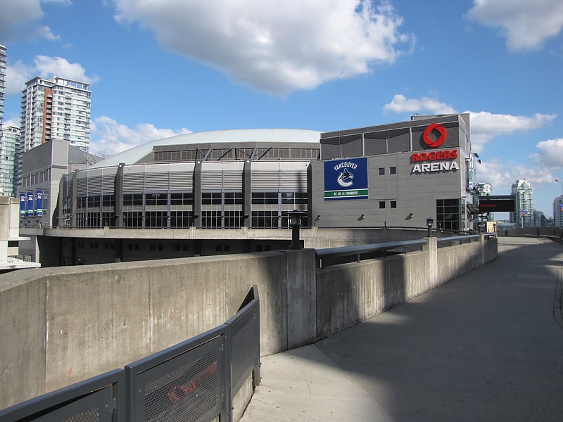
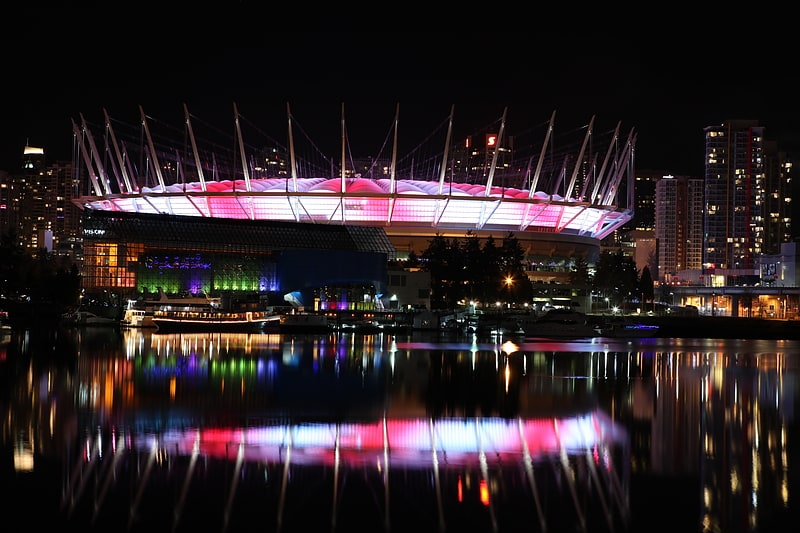
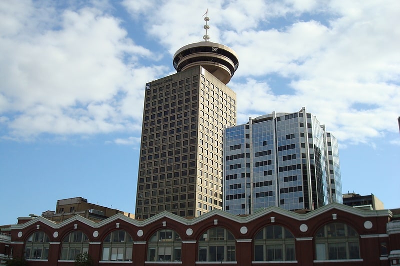
Nearby attractions include: Rogers Arena, BC Place, Harbour Centre, TD Tower.


Frequently Asked Questions (FAQ)
Which popular attractions are close to Larwill Park?
Nearby attractions include Queen Elizabeth Theatre, Vancouver (2 min walk), Vancouver Playhouse, Vancouver (3 min walk), Beatty Street Drill Hall, Vancouver (3 min walk), CBC Vancouver, Vancouver (3 min walk).
How to get to Larwill Park by public transport?
The nearest stations to Larwill Park:
Bus
Trolleybus
Metro
Ferry
Train
Bus
- North Shore TransLink Layover (1 min walk)
- Dunsmuir Street at Cambie Street • Lines: 257 (3 min walk)
Trolleybus
- Cambie St at Dunsmuir St • Lines: 5, 6 (2 min walk)
- Cambie Street at West Georgia Street • Lines: 17, 6 (3 min walk)
Metro
- Stadium–Chinatown • Lines: Expo Line (4 min walk)
- Granville • Lines: Expo Line (8 min walk)
Ferry
- Plaza of Nations Dock • Lines: Aquabus, False Creek Ferries Route 3 (10 min walk)
- Waterfront • Lines: SeaBus (14 min walk)
Train
- Waterfront (12 min walk)
- Vancouver Pacific Central (20 min walk)