Cabot Square, Montreal
Map
Map

Facts and practical information
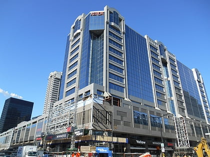
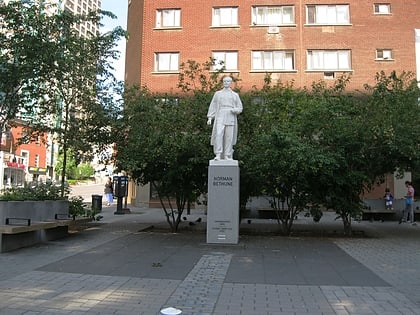
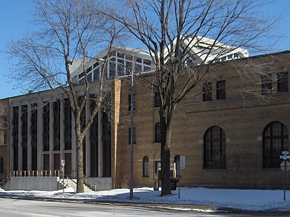
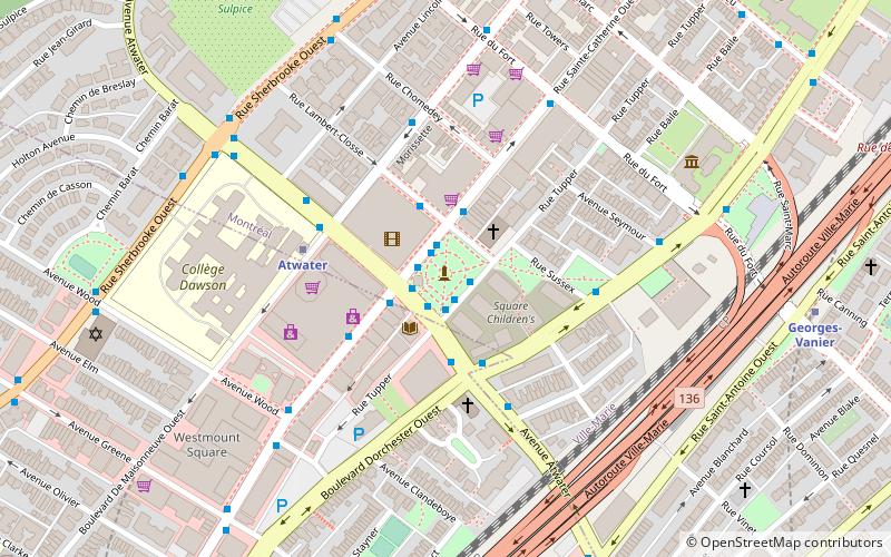
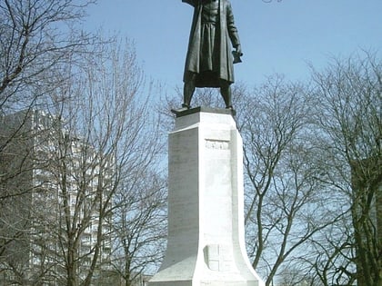
Cabot Square is an urban square in Montreal, Quebec, Canada between the former Montreal Forum and the former Montreal Children's Hospital. The square is in the Shaughnessy Village neighbourhood, an area recently re-dubbed the Quartier des Grands Jardins and has been slated for redevelopment. ()
Created: 1870Elevation: 144 ft a.s.l.Coordinates: 45°29'22"N, 73°35'1"W
Day trips
Cabot Square – popular in the area (distance from the attraction)
Nearby attractions include: Canadian Centre for Architecture, Greene Avenue, Alexis Nihon Complex, Church of Saint-Léon-de-Westmount.
Frequently Asked Questions (FAQ)
Which popular attractions are close to Cabot Square?
Nearby attractions include Atwater Library, Montreal (2 min walk), Atwater Avenue, Montreal (3 min walk), Canadian Centre for Architecture, Montreal (7 min walk), Westmount Square, Montreal (7 min walk).
How to get to Cabot Square by public transport?
The nearest stations to Cabot Square:
Bus
Metro
Train
Bus
- Station Atwater • Lines: 104-O, 108-E, 108-O, 138-O, 144-E, 15-E, 15-O, 150-E, 150-O, 57-E, 63-N, 90-O (1 min walk)
- Station Awater (1 min walk)
Metro
- Atwater • Lines: 1 (4 min walk)
- Georges-Vanier • Lines: 2 (9 min walk)
Train
- Lucien-L'Allier (18 min walk)
- Montreal Central Station (28 min walk)
 Metro
Metro

