Place Jacques-Cartier, Montreal
Map

Gallery
Facts and practical information
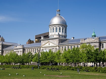
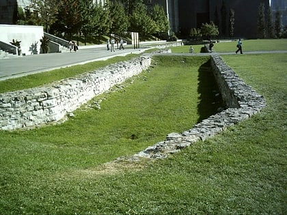
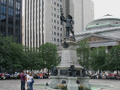
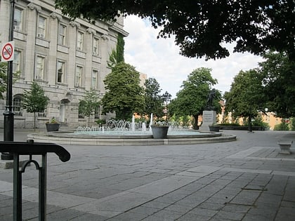
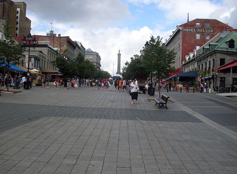
Place Jacques-Cartier is a square located in Old Montreal, Quebec, Canada. It is an entrance to the Old Port of Montreal. ()
Day trips
Place Jacques-Cartier – popular in the area (distance from the attraction)
Nearby attractions include: Montreal Science Centre, Marché Bonsecours, Notre-Dame Basilica, Notre-Dame-de-Bon-Secours Chapel.
Frequently Asked Questions (FAQ)
Which popular attractions are close to Place Jacques-Cartier?
Nearby attractions include Nelson's Column, Montreal (1 min walk), City Hall, Montreal (1 min walk), Château Ramezay, Montreal (2 min walk), Vauquelin Square, Montreal (2 min walk).
How to get to Place Jacques-Cartier by public transport?
The nearest stations to Place Jacques-Cartier:
Bus
Metro
Train
Bus
- Saint-Antoine / de l'Hôtel-de-Ville • Lines: 129-N, 129-S (3 min walk)
- Station Champ-de-Mars • Lines: 14-N, 14-S (3 min walk)
Metro
- Champ-de-Mars • Lines: 2 (5 min walk)
- Place d’Armes • Lines: 2 (9 min walk)
Train
- Montreal Central Station (22 min walk)
- Lucien-L'Allier (34 min walk)
 Metro
Metro
