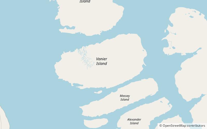
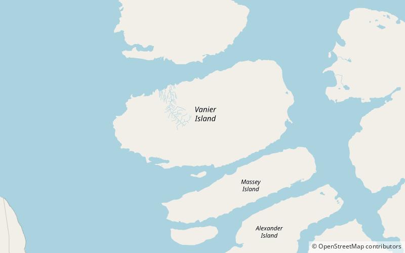
Île Vanier Travel Guide
Facts and practical information
Nestled in the remote Nunavut region of Canada, Île Vanier is a breathtaking island that offers visitors a truly unique and unparalleled experience. With its rugged, untouched landscapes and stunning Arctic beauty, it is a destination like no other. The island is a perfect destination for those seeking adventure, tranquility, and a deep connection with nature.
One of the most striking features of Île Vanier is its diverse wildlife and natural habitats. Visitors can expect to encounter a wide variety of Arctic animals, including polar bears, caribou, and seals. Birdwatchers will be delighted by the opportunity to spot a range of migratory birds, such as snow geese and Arctic terns. The island's pristine environment is a haven for nature enthusiasts and photographers alike.
For those with a taste for adventure, Île Vanier offers a wealth of outdoor activities to explore. Hiking and trekking opportunities abound, with trails that wind through the island's tundra and along its rugged coastlines. Visitors can also take part in kayaking and canoeing excursions, immersing themselves in the island's serene and untouched waters. In the winter months, the island transforms into a winter wonderland, offering unparalleled opportunities for snowshoeing, cross-country skiing, and even witnessing the mesmerizing Northern Lights.
In addition to its natural wonders, Île Vanier also boasts a rich cultural heritage. Visitors can learn about the island's history and the indigenous Inuit people who have called it home for centuries. Local art and crafts can be found in the island's communities, providing a unique opportunity to purchase authentic and locally made souvenirs.
Nunavut
Île Vanier Attractions - What to See and Explore
Île Vanier offers many attractions and places to visit. Here are the most important ones: Adam Range. Below you will find a complete list of places worth visiting.
Best Time To Visit Île Vanier
Learn when is the best time to travel to Île Vanier weather-wise and what to expect in each season.