Plaisance National Park
Map

Map

Facts and practical information
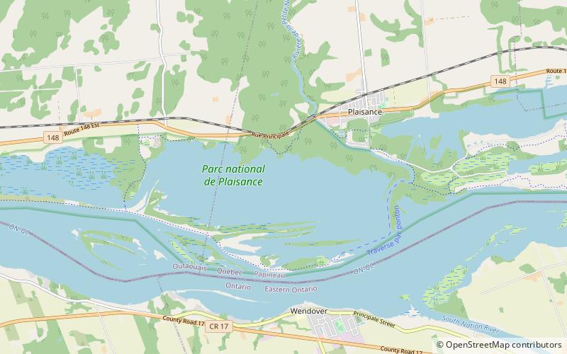
Plaisance National Park is a provincial park located near Plaisance in the province of Quebec, Canada. The park was established on March 22, 2002 and covers an area of 28.3 square kilometres. ()
Alternative names: Established: 1885 (141 years ago)Area: 10.85 mi²Elevation: 151 ft a.s.l.Coordinates: 45°35'43"N, 75°7'60"W
Location
Québec
ContactAdd
Social media
Add
Day trips
Plaisance National Park – popular in the area (distance from the attraction)
Nearby attractions include: Papanack Park Zoo.

