Restoule
Map

Gallery

Facts and practical information
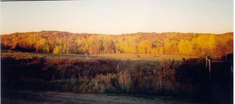
Restoule is a community and designated place in geographic Patterson Township in the Centre Unorganized Part of Parry Sound District in Central Ontario, Canada. It is situated on the Restoule River between Commanda Lake, and Restoule Lake and is part of the Almaguin Highlands region. ()
Area: 47.27 mi²Coordinates: 46°1'39"N, 79°43'10"W
Day trips
Restoule – popular in the area (distance from the attraction)
Nearby attractions include: Commanda Lake, Stormy Lake, Restoule Provincial Park.


