Batiscan River Park

Gallery (1)
Map
Map
Facts and practical information
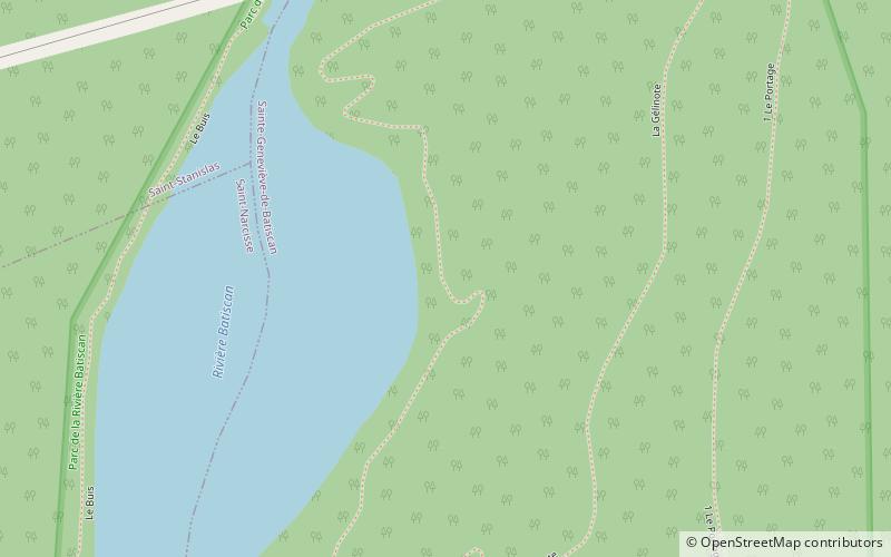
The Parc de la Rivière Batiscan is a quasi provincial park in the province of Quebec, in Canada. Located in the municipalities of Saint-Narcisse of Saint-Stanislas and Sainte-Geneviève-de-Batiscan. It is maintained by a local council representing the three surrounding local towns. Established in 1992, recreational and tourist park covers 362 acres extending on both sides of the Batiscan River. ()
Established: 1992 (34 years ago)Area: 1.4 mi²Coordinates: 46°33'53"N, 72°24'29"W
Location
Québec
ContactAdd
Social media
Add