Trek Zone

Charlottetown Driving Park, Charlottetown
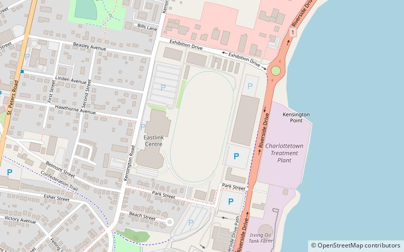
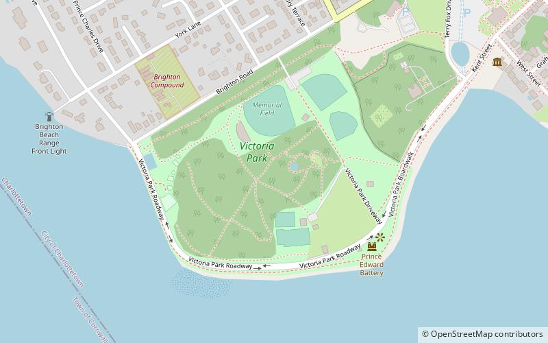
#29 among attractions in Charlottetown

Sport, Sport venue
Charlottetown Driving Park location map
Map

Facts and practical information

Coordinates: 46°14'46"N, 63°6'54"W
Address

ParkdaleCharlottetown Canada

Contact
Social media
Add
Day trips

Charlottetown Driving Park – popular in the area (distance from the attraction)

Nearby attractions include: Charlottetown Boulder Park, Province House, St. Dunstan's Basilica, Confederation Centre of the Arts.

  • charlottetown boulder park0.9 miSW
  • province house charlottetown0.9 miSW
  • st dunstans basilica charlottetown1 miSW
  • confederation centre of the arts charlottetown1 miSW
  • victoria park charlottetown location map
    1.7 miSW
  • st peters cathedral charlottetown1.2 miSW
  • charlottetown city hall1 miSW
  • charlottetown yacht club1.2 miSW
  • confederation centre art gallery charlottetown1 miSW
  • hillsborough bridge charlottetown0.9 miSE
  • prince edward island museum heritage foundation charlottetown1.3 miSW

Frequently Asked Questions (FAQ)

Which popular attractions are close to Charlottetown Driving Park?

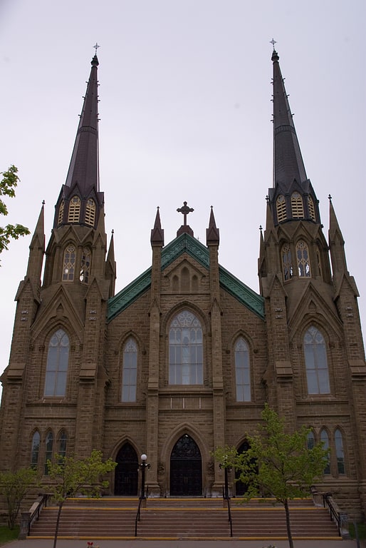
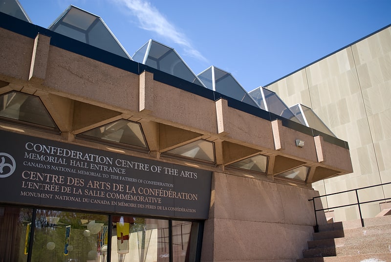
Nearby attractions include Holland College, Charlottetown (15 min walk), Hillsborough Bridge, Charlottetown (22 min walk), Charlottetown Boulder Park, Charlottetown (23 min walk).

Where to next? Visit prince edward island Prince Edward Island region page or discover the top tourist attractions in Canada.