Fort Sainte Thérèse

Map
Facts and practical information
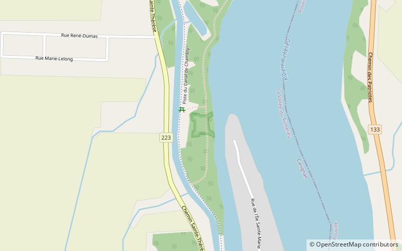
Fort Sainte Thérèse is the name given to three different forts built successively on one site, among a series of fortifications constructed during the 17th century by France along the Richelieu River, in the province of Quebec, in Montérégie. ()
Built: 1665 (361 years ago)Coordinates: 45°23'20"N, 73°15'29"W
Location
Québec
ContactAdd
Social media
Add
Day trips
Fort Sainte Thérèse – popular in the area (distance from the attraction)
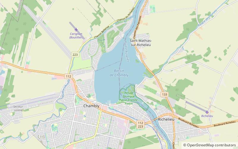
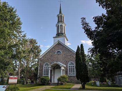
Nearby attractions include: Fort Chambly, Bassin-de-Chambly, St. Stephen's Anglican Church, Chambly Canal.


