Gouin Boulevard, Montreal
Map
Gallery
Facts and practical information
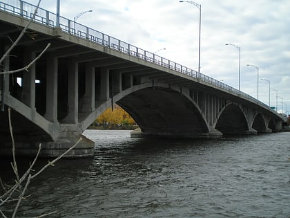
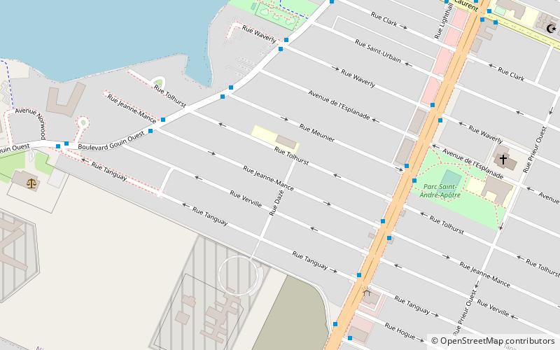
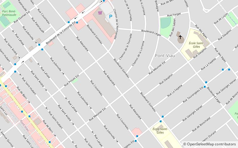
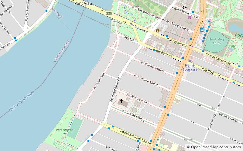
Gouin Boulevard is the longest street on the Island of Montreal, stretching 50 kilometres across the north side of the island from Pierrefonds in the west to Pointe-aux-Trembles in the east, where it intersects with Sherbrooke Street. ()
Length: 35.79 miCoordinates: 45°33'14"N, 73°40'23"W
Address
Ahuntsic-Cartierville (Ahuntsic)Montreal
ContactAdd
Social media
Add
Day trips
Gouin Boulevard – popular in the area (distance from the attraction)
Nearby attractions include: La Visitation, Viau Bridge, Parc Ahuntsic, Ahuntsic.
Frequently Asked Questions (FAQ)
Which popular attractions are close to Gouin Boulevard?
Nearby attractions include Henri Bourassa Boulevard, Montreal (7 min walk), Viau Bridge, Montreal (7 min walk), Montreal Zen Center, Montreal (11 min walk), Parc Ahuntsic, Montreal (12 min walk).
How to get to Gouin Boulevard by public transport?
The nearest stations to Gouin Boulevard:
Bus
Metro
Train
Bus
- Berri / Gouin • Lines: 31-S (4 min walk)
- Saint-Laurent / Gouin • Lines: 69-E, 69-O (5 min walk)
Metro
- Henri-Bourassa • Lines: 2 (7 min walk)
- Cartier • Lines: 2 (16 min walk)
Train
- Sauvé (25 min walk)
- Bois-de-Boulogne (25 min walk)

 Metro
Metro
