Le Gardeur Bridge, Montreal
Map

Map

Facts and practical information
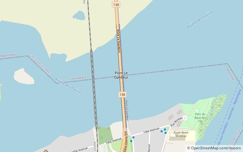
The Le Gardeur Bridge is a beam bridge that connects the east end of the island of Montreal, in Pointe-aux-Trembles, to Repentigny. ()
Coordinates: 45°42'14"N, 73°29'1"W
Address
Montreal
ContactAdd
Social media
Add
Day trips
Le Gardeur Bridge – popular in the area (distance from the attraction)
Nearby attractions include: Église Notre-Dame-des-Champs de Repentigny, Coulée Grou, Charles de Gaulle Bridge, Laurier Railway Bridge.
Frequently Asked Questions (FAQ)
How to get to Le Gardeur Bridge by public transport?
The nearest stations to Le Gardeur Bridge:
Bus
Bus
- Sainte-Maria-Goretti / 100e Avenue • Lines: 86-E, 86-O (6 min walk)
- 100e Avenue / Bureau • Lines: 86-E, 86-O (7 min walk)

 Metro
Metro


