Massif du Sud

Map
Facts and practical information
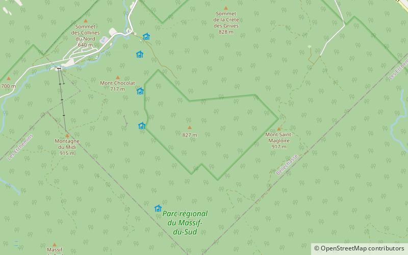
The Massif du Sud is a ski mountain about 90 km southeast of Quebec City, Canada. It is part of the park of the same name, the Parc du Massif du Sud. ()
Longest run: 2.17 miBase elevation: 1690 ftTop elevation: 3002 ftCoordinates: 46°36'51"N, 70°29'7"W
Day trips
Massif du Sud – popular in the area (distance from the attraction)
Nearby attractions include: Mont Saint-Magloire, Mount Chocolat, Mont du Midi, Claude-Mélançon Ecological Reserve.


