Fort Amherst, St. John's
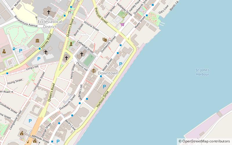
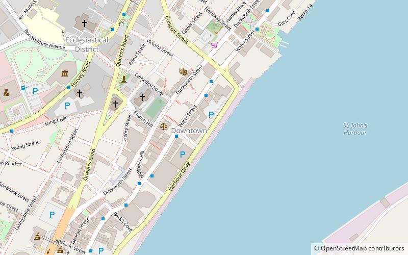
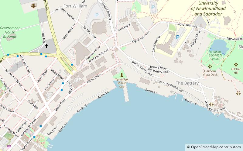
Map
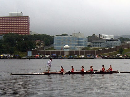
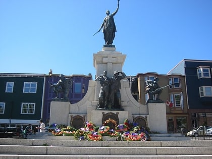
Gallery
Facts and practical information
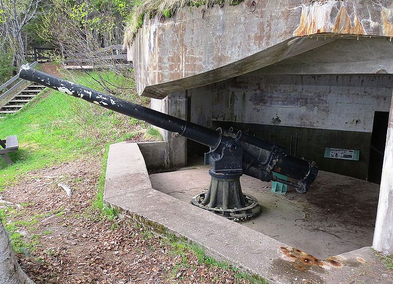
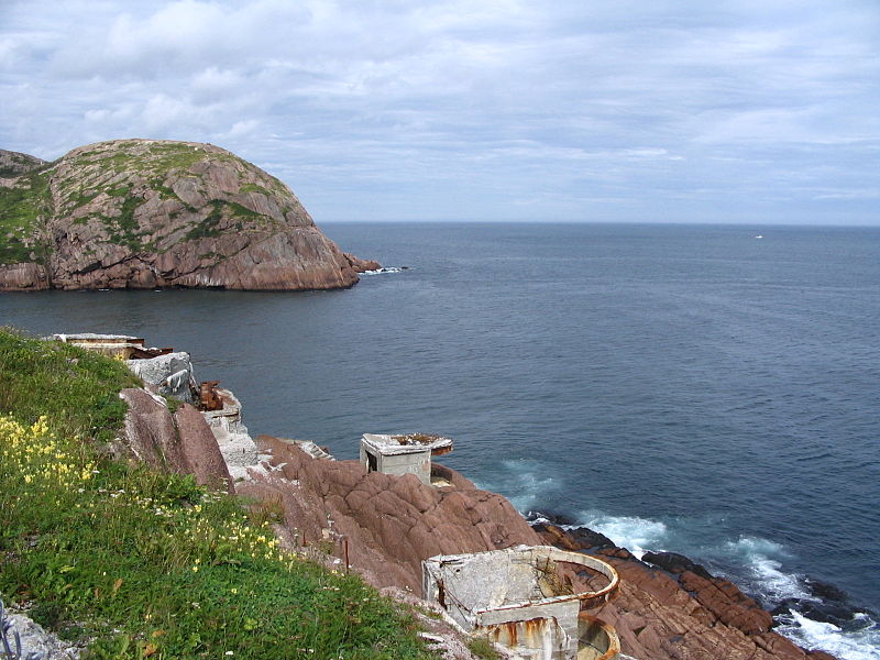
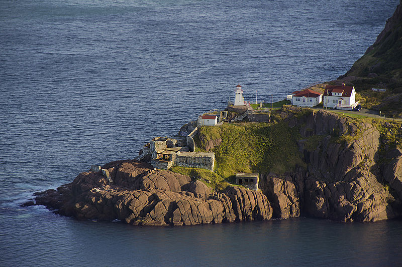
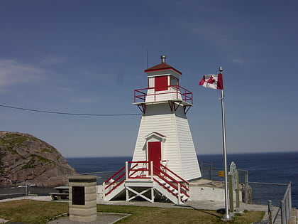
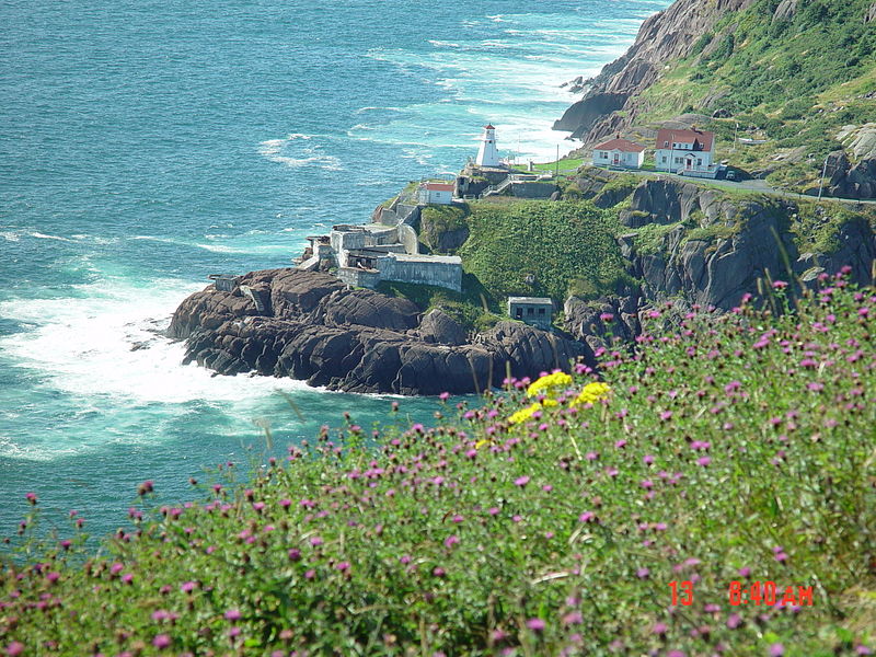
Fort Amherst is a neighbourhood in St. John's, Newfoundland and Labrador. It is located at 47°33′48.96″N 52°40′49.60″W, on the southern side of the Narrows, the entrance to St. John's harbour. Apart from some family dwellings, Fort Amherst consists of a man-made harbour, a lighthouse and the remains of gun emplacements built during World War II to defend against German U-boats. Two QF 4.7-inch B Mark IV* guns remain in place on their mountings. ()
Coordinates: 47°33'49"N, 52°40'49"W
Address
Fort Amherst RdFort AmherstSt. John's
ContactAdd
Social media
Add
Day trips
Fort Amherst – popular in the area (distance from the attraction)
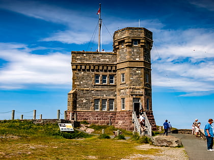
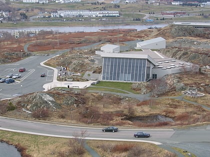
Nearby attractions include: Signal Hill, Cabot Tower, Johnson Geo Centre, Fort Amherst Lighthouse.
Frequently Asked Questions (FAQ)
Which popular attractions are close to Fort Amherst?
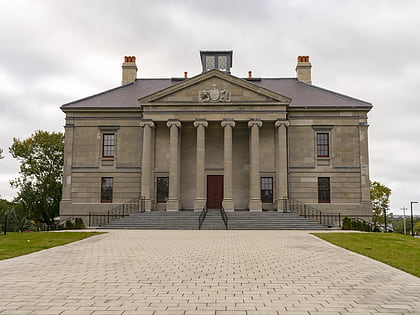
Nearby attractions include Fort Waldegrave, St. John's (1 min walk), Fort Amherst Lighthouse, St. John's (1 min walk), Cabot Tower, St. John's (12 min walk), Signal Hill, St. John's (16 min walk).


