Waterloo Public Library, Waterloo
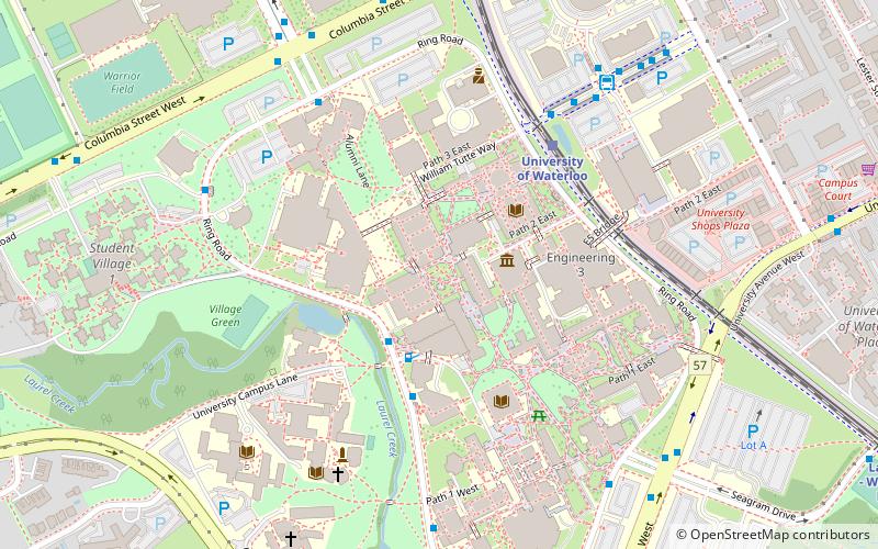
Map
Map

Facts and practical information
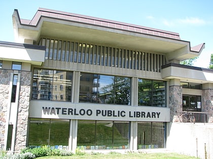
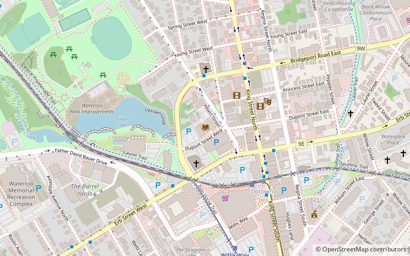
The Waterloo Public Library is the public library system for Waterloo, Ontario, Canada. Founded in 1888, the library has three branches as of February 2021, with another under construction. ()
Coordinates: 43°27'57"N, 80°31'29"W
Day trips
Waterloo Public Library – popular in the area (distance from the attraction)
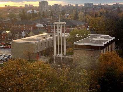
Nearby attractions include: Canadian Clay and Glass Gallery, Waterloo Park, University of Waterloo Faculty of Mathematics, Quantum Nano Quad.
Frequently Asked Questions (FAQ)
Which popular attractions are close to Waterloo Public Library?
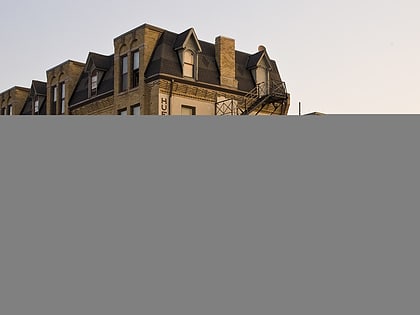
Nearby attractions include Huether Hotel, Waterloo (3 min walk), Canadian Clay and Glass Gallery, Waterloo (3 min walk), State of the Art Supplies, Waterloo (5 min walk), Waterloo Public Square, Waterloo (5 min walk).
How to get to Waterloo Public Library by public transport?
The nearest stations to Waterloo Public Library:
Bus
Light rail
Bus
- King / Bridgeport • Lines: 5 (4 min walk)
- King / Waterloo Public Square • Lines: 5, 7 (5 min walk)
Light rail
- Waterloo Public Square • Lines: 301 (4 min walk)
- Willis Way • Lines: 301 (7 min walk)
