Sheringham Point Light
Map

Map

Facts and practical information
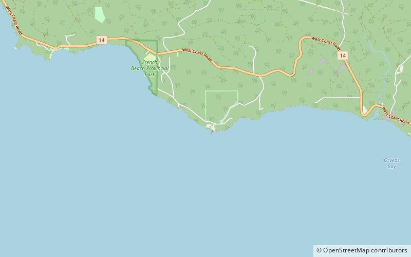
Sheringham Point Lighthouse is located on Vancouver Island, British Columbia, near the community of Shirley. Built in 1912 following the fatal wreck of the SS Valencia six years earlier, it is still used for navigation. The point was named for William L. Sheringham who took part in various naval surveys although not in this area. ()
Coordinates: 48°22'39"N, 123°55'23"W
Location
British Columbia
ContactAdd
Social media
Add
Day trips
Sheringham Point Light – popular in the area (distance from the attraction)
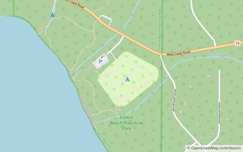
Nearby attractions include: French Beach Provincial Park.

