Smyth station, Ottawa
Map
Map

Facts and practical information
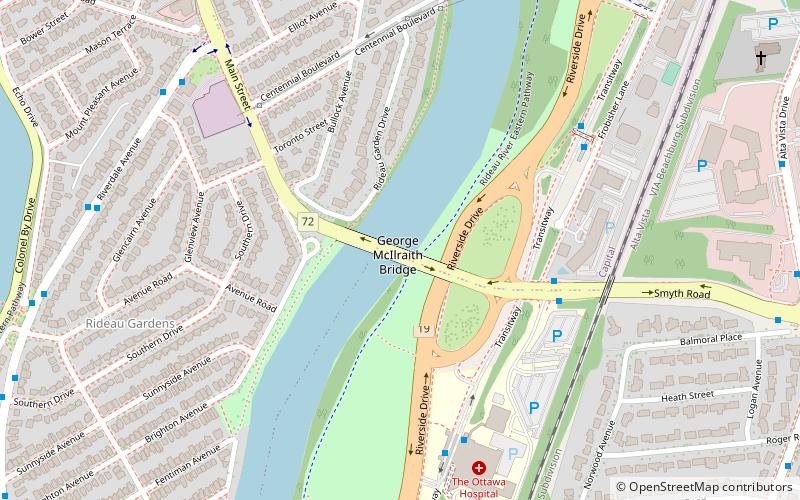
Smyth Transitway Station is a bus-stop on Ottawa's transitway served by OC Transpo buses. It is located in the south-eastern transitway section on Frobisher Lane near Smyth Road. ()
Opened: 1991 (35 years ago)Coordinates: 45°23'59"N, 75°40'14"W
Address
RiverviewOttawa
ContactAdd
Social media
Add
Day trips
Smyth station – popular in the area (distance from the attraction)
Nearby attractions include: Canadian Museum of Nature, Billings Bridge Plaza, TD Place Stadium, Flora Footbridge.
Frequently Asked Questions (FAQ)
Which popular attractions are close to Smyth station?
Nearby attractions include Pleasant Park station, Ottawa (13 min walk), Flora Footbridge, Ottawa (16 min walk), Trinity Anglican Church, Ottawa (17 min walk), Old Ottawa East, Ottawa (17 min walk).
How to get to Smyth station by public transport?
The nearest stations to Smyth station:
Bus
Light rail
Train
Bus
- Smyth / Riverside • Lines: 55 (5 min walk)
- Riverside 2A • Lines: 10, 190, 199, 290, 291, 294, 299, 40, 48, 49, 88, 90, 92, 93, 96, 97, 98, 99 (6 min walk)
Light rail
- Hurdman O-Train East/Est • Lines: 1 (24 min walk)
- Lees O-Train West/Ouest • Lines: 1 (30 min walk)
Train
- Ottawa (38 min walk)

