Pelee Island
Map

Gallery

Facts and practical information
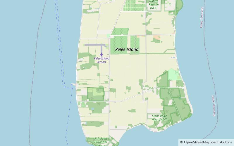
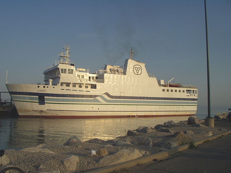
Pelee Island, Ontario, Canada, is an island in the western half of Lake Erie. Pelee Island is connected to the Canadian and United States mainland by ferry service. At 42 km2, Pelee Island is the largest island in Lake Erie and the southernmost populated point in Canada. An Ontario Historical Plaque was erected by the province to commemorate the development of Pelee Island's role in Ontario's heritage. Nearby Middle Island is the southernmost point of land in Canada. ()
Location
Ontario
ContactAdd
Social media
Add
