Pitt River Bridge, Pitt Meadows
Map
Map

Facts and practical information
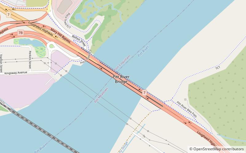
The Pitt River Bridge is a cable-stayed bridge that spans the Pitt River between Port Coquitlam and Pitt Meadows in British Columbia, Canada. The bridge is part of Highway 7, carrying Lougheed Highway across the river. The current bridge opened on October 4, 2009. The bridge includes a 380 m cable stay bridge structure, 126 m of multi-span approaches, a 50 m interchange structure and approximately 2 km of grade construction. Total project cost for the bridge was $200 million ()
Coordinates: 49°14'53"N, 122°43'44"W
Day trips
Pitt River Bridge – popular in the area (distance from the attraction)
Nearby attractions include: City Centre Aquatic Complex, Coquitlam Centre, Lafarge Lake, Minnekhada Regional Park.


