Port of Saint John, Saint John
Map
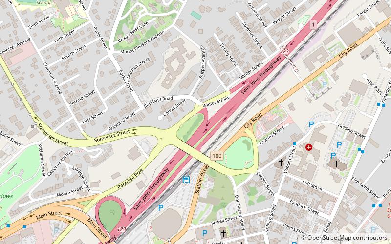
Map

Facts and practical information
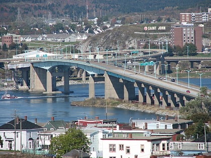
The Port of Saint John is a port complex that occupies 120 hectares of land along 3,900 m of waterfront of the Saint John Harbour at the mouth of the Saint John River in the city of Saint John, New Brunswick, Canada. The Port of Saint John, with facilities on both sides of the river, is noted for its extreme tidal range and river currents. Because of the semi-diurnal tides and the river influence, slack water occurs at approximately half tide and not at high or low water as at most other ports. ()
Coordinates: 45°16'47"N, 66°3'46"W
Day trips
Port of Saint John – popular in the area (distance from the attraction)
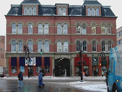
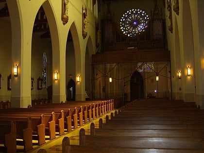
Nearby attractions include: Saint John City Market, TD Station, Fort Howe, Cathedral of the Immaculate Conception.
Frequently Asked Questions (FAQ)
Which popular attractions are close to Port of Saint John?
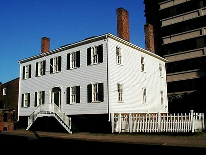
Nearby attractions include Saint John Jewish Historical Museum, Saint John (1 min walk), Cathedral of the Immaculate Conception, Saint John (8 min walk), Saint John City Market, Saint John (11 min walk), New Brunswick Museum, Saint John (12 min walk).

