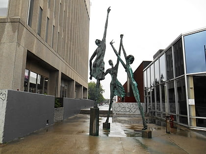
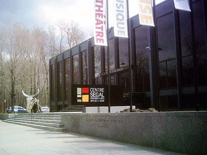
Segal Centre for Performing Arts, Montreal
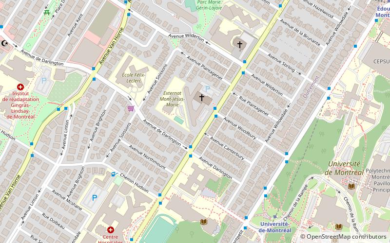
Map
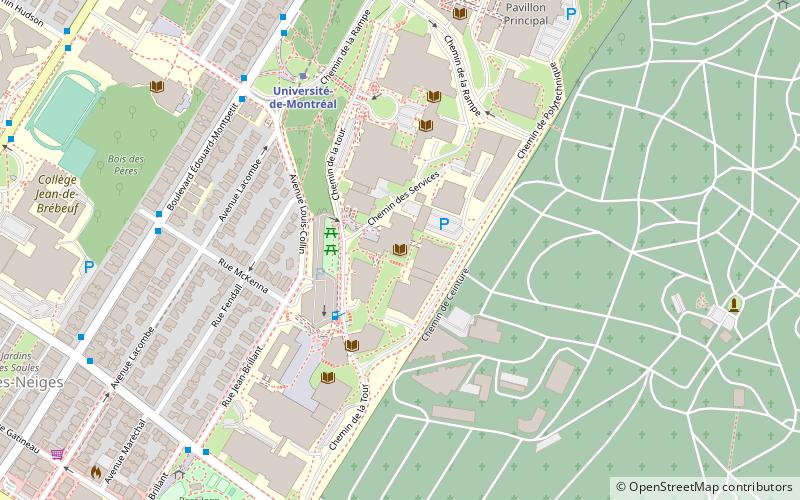
Map

Facts and practical information
Opened: 1967 (59 years ago)Coordinates: 45°29'20"N, 73°38'9"W
Day trips
Segal Centre for Performing Arts – popular in the area (distance from the attraction)
Nearby attractions include: Saint Joseph's Oratory, Plaza Côte-des-Neiges, Montreal Holocaust Memorial Centre, Congregation Dorshei Emet.
Frequently Asked Questions (FAQ)
Which popular attractions are close to Segal Centre for Performing Arts?
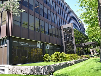
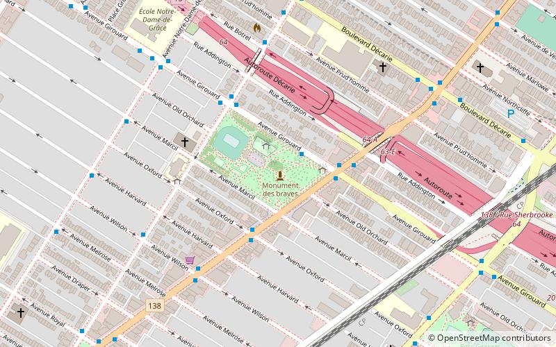
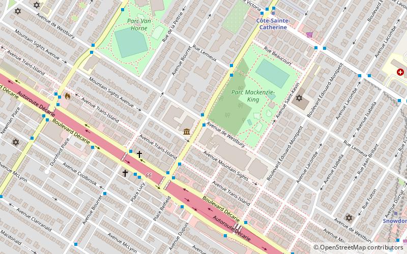
Nearby attractions include Montreal Holocaust Memorial Centre, Montreal (1 min walk), Jewish Public Library, Montreal (2 min walk), Parc Mackenzie-King, Montreal (4 min walk), Spanish and Portuguese Synagogue of Montreal, Montreal (6 min walk).
How to get to Segal Centre for Performing Arts by public transport?
The nearest stations to Segal Centre for Performing Arts:
Bus
Metro
Bus
- Côte-Sainte-Catherine / de Westbury • Lines: 129-N, 129-S (1 min walk)
- Côte-Sainte-Catherine / Trans Island • Lines: 129-S (3 min walk)
Metro
- Côte-Sainte-Catherine • Lines: 2 (7 min walk)
- Plamondon • Lines: 2 (10 min walk)
 Metro
Metro
