Shadow Theatre, Edmonton
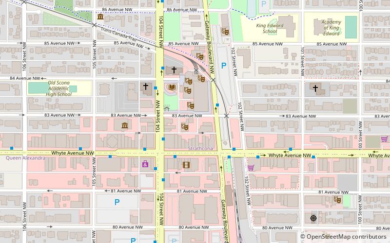
Map
Facts and practical information
The Shadow Theatre is an Edmonton-based theatre company born of the Edmonton International Fringe Festival in 1990. ()
Coordinates: 53°31'8"N, 113°29'46"W
Address
South Central Edmonton (Strathcona)Edmonton
ContactAdd
Social media
Add
Day trips
Shadow Theatre – popular in the area (distance from the attraction)
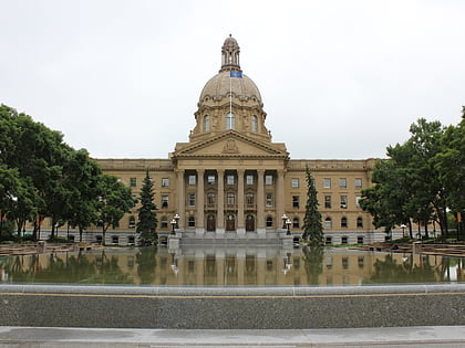
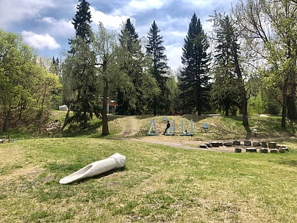
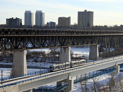
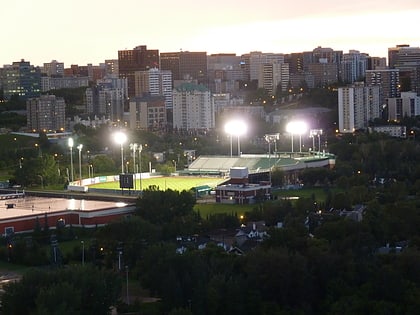
Nearby attractions include: Alberta Legislature Building, Indigenous Art Park, Dudley B. Menzies Bridge, Princess Theatre.
Frequently Asked Questions (FAQ)
Which popular attractions are close to Shadow Theatre?
Nearby attractions include Varscona Theatre, Edmonton (1 min walk), Walterdale Theatre, Edmonton (1 min walk), Strathcona Library, Edmonton (2 min walk), Edmonton High Level Streetcar, Edmonton (3 min walk).
How to get to Shadow Theatre by public transport?
The nearest stations to Shadow Theatre:
Bus
Light rail
Bus
- Whyte Ave & 104 Street • Lines: 4, 637, 7 (3 min walk)
- Whyte Ave & 105 Street • Lines: 4, 404, 637, 7, Strathcona County Transit (5 min walk)
Light rail
- University • Lines: 501, 502 (30 min walk)
