Lake Brompton
Map

Map

Facts and practical information
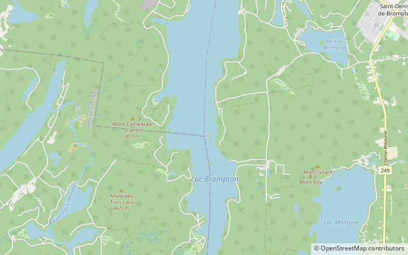
Lake Brompton is a lake located in the watershed of the St-François River, in the Estrie region of Quebec, Canada. It's watershed covers an area of approximately 140 km2. The lake has a length of just over 12 km, varies in width from about ½ to 2 km. Its deepest place is 42 meters, but the average depth is 11 meters. ()
Alternative names: Area: 4.59 mi²Average depth: 138 ftElevation: 755 ft a.s.l.Coordinates: 45°25'48"N, 72°8'42"W
Location
Québec
ContactAdd
Social media
Add
