Murrin Provincial Park, Squamish

Gallery (1)
Map
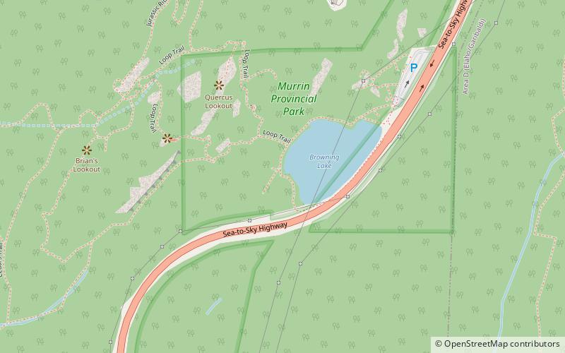
Map
Facts and practical information
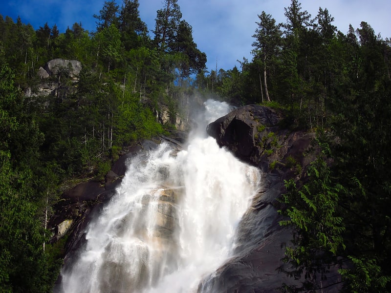
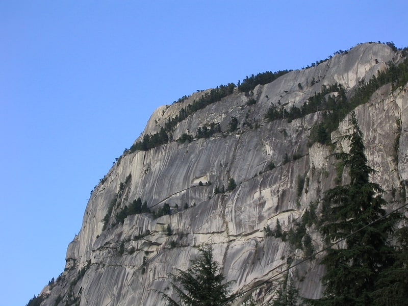
Murrin Provincial Park is a provincial park in British Columbia, Canada, located just south of Squamish beside the Sea-to-Sky Highway. The park is approximately 24 ha. in size and has a popular highway-side picnic ground and small swimming lake, but it is most notable for a collection of petroglyphs located away from the highway and accessed by trail. Several rockfaces in the area of the park are popular with the local mountain-climbing community, though the site is nowhere as busy as the nearby Stawamus Chief. ()
Established: 1 May 1962 (63 years ago)Elevation: 449 ft a.s.l.Coordinates: 49°38'38"N, 123°12'29"W
Day trips