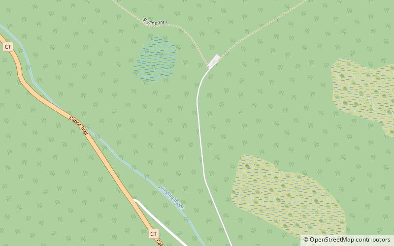
Skyline Trail, Cape Breton Highlands National Park
Map

Map

Facts and practical information
The Skyline Trail is a seven-kilometre, looping, hiking trail at Cape Breton Highlands National Park in Nova Scotia, Canada. It lies on the western side of the Cabot Trail, near French Mountain's summit. This trail is well known for its scenic views, but also for the 2009 fatal coyote assault on Taylor Mitchell. ()
Maximum elevation: 1493 ftCoordinates: 46°44'31"N, 60°52'52"W
Address
Cape Breton Highlands National Park
ContactAdd
Social media
Add
Day trips
Skyline Trail – popular in the area (distance from the attraction)
Nearby attractions include: Gampo Abbey, Pleasant Bay.


