Big Island Lake
Map

Map

Facts and practical information
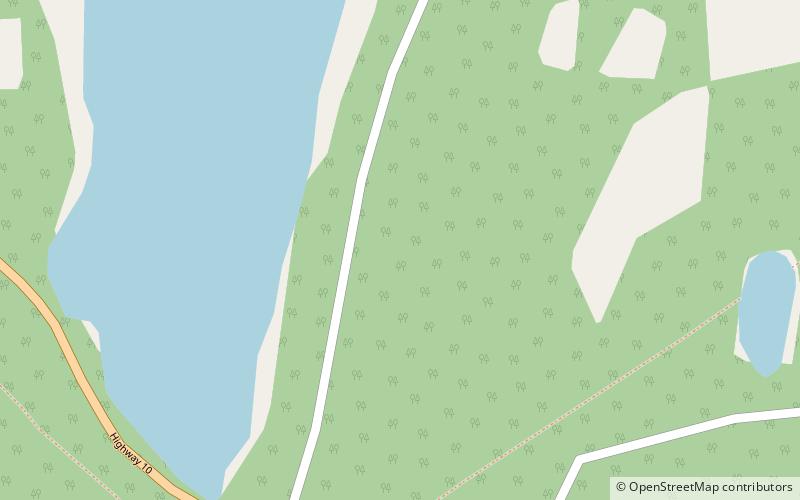
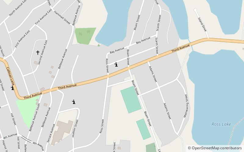
Big Island Lake is a glacial lake located five kilometres east of Flin Flon, Manitoba, Canada. ()
Length: 5.72 miWidth: 3.23 miMaximum depth: 151 ftElevation: 997 ft a.s.l.Coordinates: 54°42'21"N, 101°45'47"W
Location
Manitoba
ContactAdd
Social media
Add
Day trips
Big Island Lake – popular in the area (distance from the attraction)
Nearby attractions include: Bakers Narrows, Whitney Forum.


