Ville-Marie, Montreal
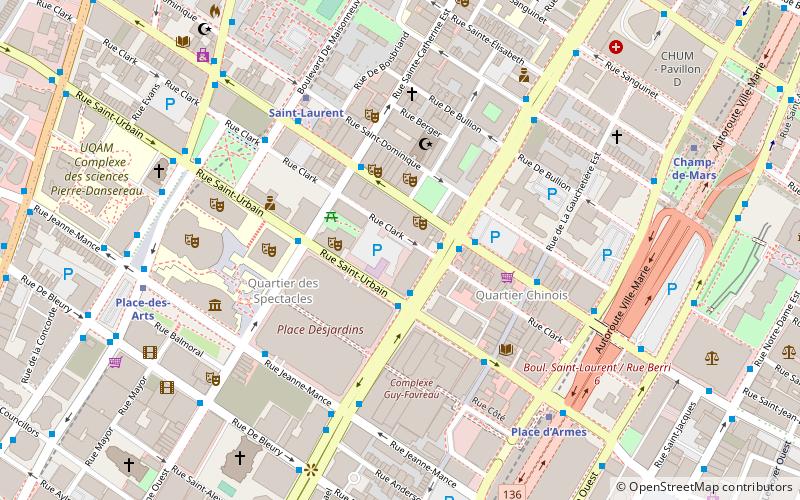
Map
Map

Facts and practical information
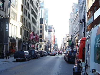
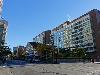
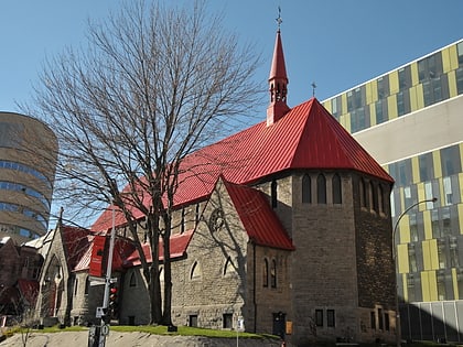
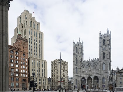
Ville-Marie is the name of a borough in the centre of Montreal, Quebec. The borough is named after Fort Ville-Marie, the French settlement that would later become Montreal, which was located within the present-day borough. Old Montreal is a National Historic Site of Canada. ()
Day trips
Ville-Marie – popular in the area (distance from the attraction)
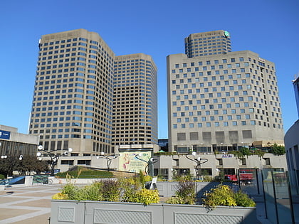
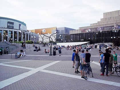
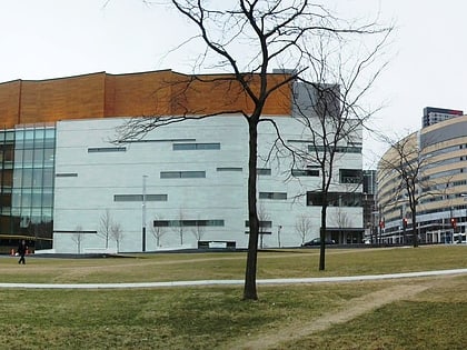
Nearby attractions include: St-Laurent, Saint Catherine Street, Musée d'art contemporain de Montréal, Complexe Desjardins.
Frequently Asked Questions (FAQ)
Which popular attractions are close to Ville-Marie?
Nearby attractions include Monument-National, Montreal (1 min walk), Hydro-Québec Building, Montreal (2 min walk), Peace Park, Montreal (2 min walk), Théâtre du Nouveau Monde, Montreal (2 min walk).
How to get to Ville-Marie by public transport?
The nearest stations to Ville-Marie:
Bus
Metro
Train
Bus
- René-Lévesque / Saint-Urbain • Lines: 150-O, 427-O (2 min walk)
- René-Lévesque / Saint-Laurent • Lines: 15-E, 150-E, 150-O, 427-E, 747-E, 747-O (2 min walk)
Metro
- Saint-Laurent • Lines: 1 (5 min walk)
- Place d’Armes • Lines: 2 (6 min walk)
Train
- Montreal Central Station (16 min walk)
- Lucien-L'Allier (28 min walk)

 Metro
Metro
