Nimpo Lake

Gallery (1)
Map
Map
Facts and practical information
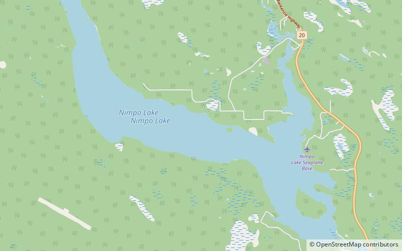
Nimpo Lake is a freshwater lake in the Chilcotin District of British Columbia, Canada. It is located 300 kilometres west of Williams Lake on the Chilcotin Highway and is approximately 160 kilometres east of Bella Coola. The lake is over 11 kilometres long with several protected bays and has an area of 9.88 km2. ()
Alternative names: Area: 3.85 mi²Length: 7 miWidth: 5280 ftMaximum depth: 90 ftElevation: 3665 ft a.s.l.Coordinates: 52°20'20"N, 125°11'17"W
Location
British Columbia
ContactAdd
Social media
Add