Butter Pot Provincial Park

Gallery (1)
Map
Map
Facts and practical information
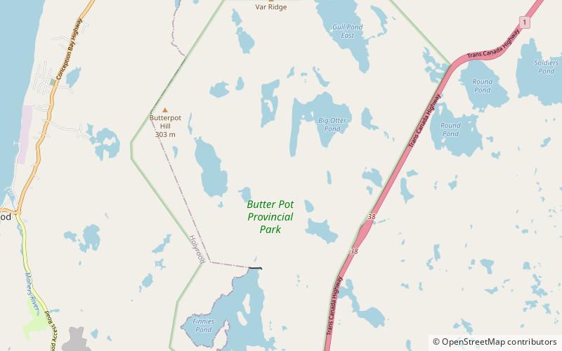
Butter Pot Provincial Park is a Provincial Park on the Avalon Peninsula of the island of Newfoundland, Canada. The park covers an area of approximately 28 km2 and is located on the Trans-Canada Highway about 35 km southwest of St. John's. The park is named for a prominent rounded hill inside the park boundary. Butter Pot incorporates both day-use and overnight camping facilities, and in winter months provides groomed cross-country ski trails. ()
Location
Newfoundland and Labrador
ContactAdd
Social media
Add