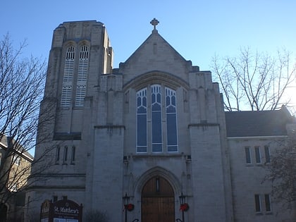
Old Ottawa East, Ottawa
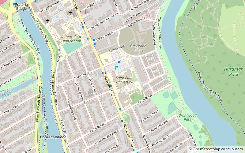
Map
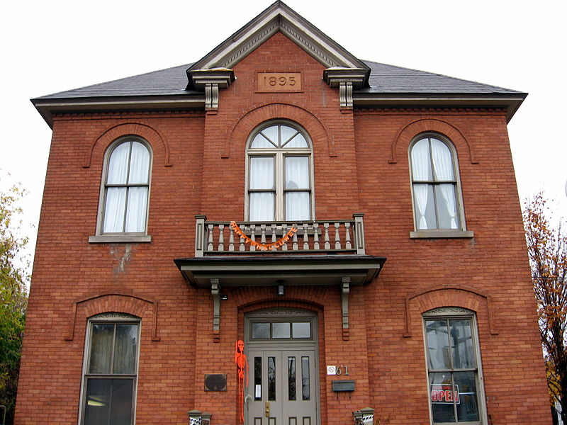
Gallery
Facts and practical information
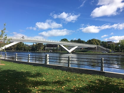
Old Ottawa East or just Ottawa East is a neighbourhood in Capital Ward in central Ottawa, Ontario, Canada. It is located south of Nicholas Street and between the Rideau Canal and the Rideau River, with Avenue Road marking the southern border. To the south is the neighbourhood of Old Ottawa South and to the northeast is Sandy Hill. Old Ottawa East includes the Lees Avenue area. The Flora Footbridge, which opened to pedestrians in 2019, connects the community to The Glebe. ()
Address
Old Ottawa EastOttawa
ContactAdd
Social media
Add
Day trips
Old Ottawa East – popular in the area (distance from the attraction)
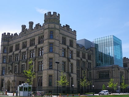
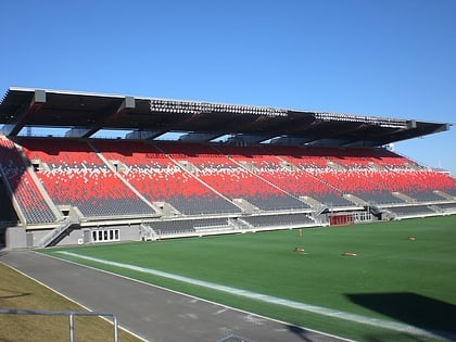
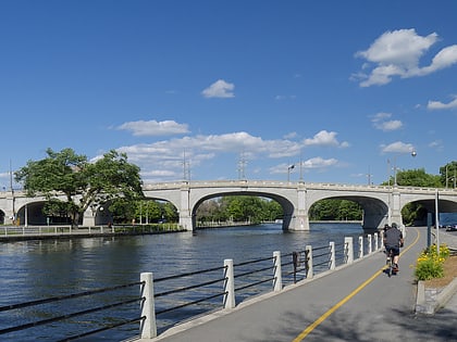
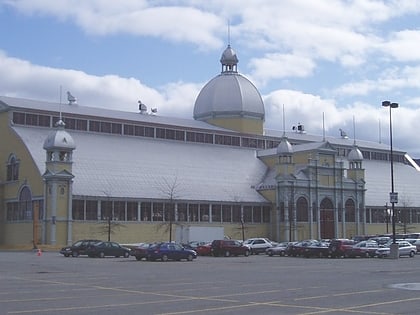
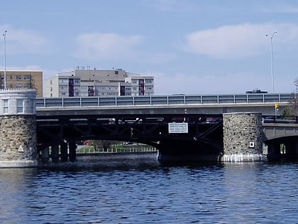
Nearby attractions include: Canadian Museum of Nature, TD Place Stadium, Flora Footbridge, Bank Street Bridge.
Frequently Asked Questions (FAQ)
Which popular attractions are close to Old Ottawa East?
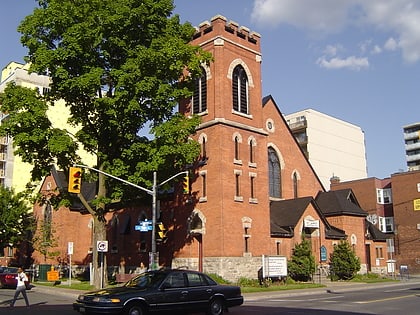
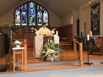
Nearby attractions include Saint Paul University, Ottawa (2 min walk), Flora Footbridge, Ottawa (8 min walk), Church of the Ascension, Ottawa (9 min walk), Ballantyne Park, Ottawa (11 min walk).
How to get to Old Ottawa East by public transport?
The nearest stations to Old Ottawa East:
Bus
Light rail
Bus
- Main / Herridge • Lines: 5, 55 (2 min walk)
- U St Paul U • Lines: 16 (2 min walk)
Light rail
- Lees O-Train East/Est • Lines: 1 (17 min walk)
- Hurdman O-Train West/Ouest • Lines: 1 (17 min walk)

