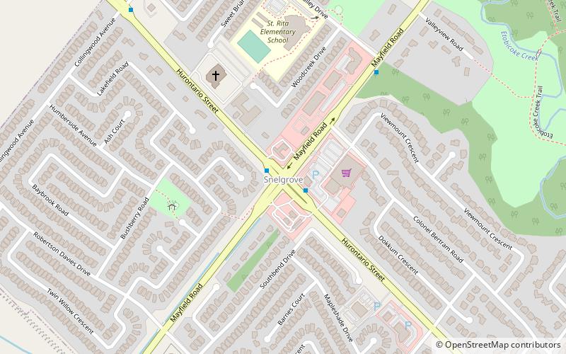
Snelgrove, Brampton
Map
Facts and practical information
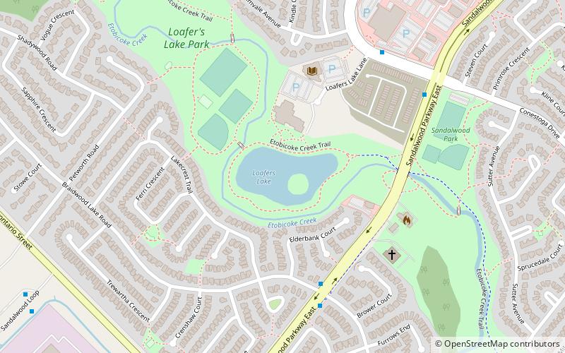
Snelgrove is a former hamlet in Brampton, Ontario, Canada, straddling the border between Brampton and Caledon, and centred on the intersection of Hurontario Street and Mayfield Road. It was known as Edmonton in the 1800s after home town of local settlers. ()
Address
SnelgroveBrampton
ContactAdd
Social media
Add
Getting there by public transportation
Public transportation stops near this location
- Bus
 Bus
Bus
- Calculate routeSandalwood Loop 32 min walk
- Calculate routeHurontario St & Sandalwood Pkwy 40 min walk
Day trips


Frequently Asked Questions (FAQ)
How to get to Snelgrove by public transport?
The nearest stations to Snelgrove:
Bus
Bus
- Sandalwood Loop • Lines: 502 (32 min walk)
- Hurontario St & Sandalwood Pkwy • Lines: 502 (40 min walk)