St. Chad's

Gallery (1)
Map
Map
Facts and practical information
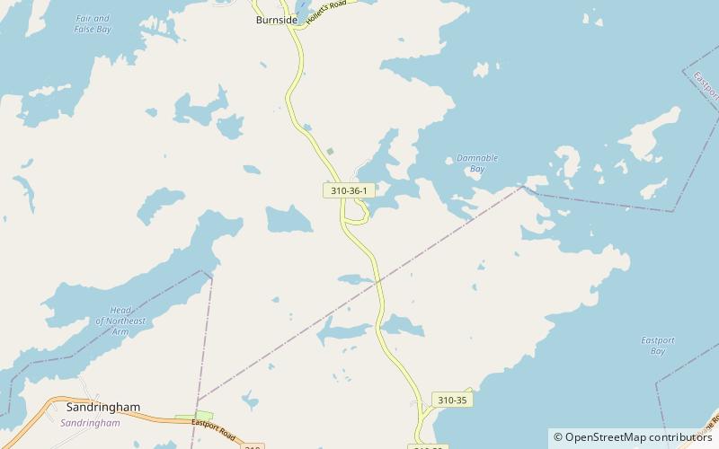
Burnside-St. Chads is a local service district and designated place on the Eastport Peninsula in the Canadian province of Newfoundland and Labrador. A port is located in Burnside through which the MV Grace Sparkes services the isolated island outport of St. Brendan's. Burnside-St. Chads community had a population of 79 in the 2021 census. ()
Coordinates: 48°41'22"N, 53°46'27"W
Location
Newfoundland and Labrador
ContactAdd
Social media
Add
Day trips


