Mount Matheson

Map
Facts and practical information
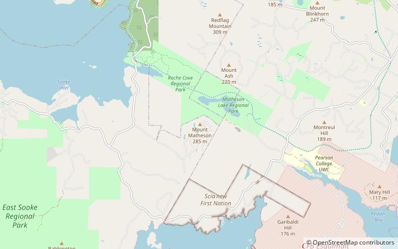
Mount Matheson, at 292 metres, is the highest point in East Sooke, British Columbia. From the top there are panoramic views from Cape Flattery to Mount Baker. The bedrock is Eocene-era basalt. ()
Elevation: 958 ftProminence: 820 ftCoordinates: 48°21'33"N, 123°36'40"W
Location
British Columbia
ContactAdd
Social media
Add
Day trips
Mount Matheson – popular in the area (distance from the attraction)
Nearby attractions include: Race Rocks Light, Sooke Region Museum, Sooke Potholes Provincial Park, AdrenaLINE Zipline Adventure Tours.


