Muskrat Lake
Map

Map

Facts and practical information
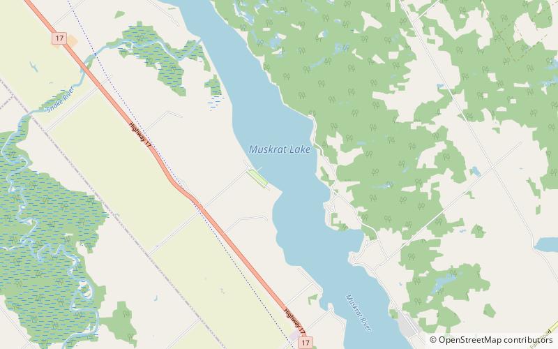
Muskrat Lake is located in the Whitewater Region of Renfrew County, in Ontario, Canada. It is approximately 16 km in length, an average of 17.9 m deep but 64 m at its deepest point, and covers an area of 1,219 ha. It is rumored to be home to a legendary lake monster that locals fondly refer to as “Mussie”. The lake currently has over 300 lakefront properties and two privately owned campgrounds surrounding its shores. The town of Cobden is the largest settlement on the lake, with a population slightly over 1,000 people. ()
Alternative names: Length: 9.94 miMaximum depth: 210 ftElevation: 404 ft a.s.l.Coordinates: 45°40'26"N, 76°54'28"W
Location
Ontario
ContactAdd
Social media
Add
Day trips
Muskrat Lake – popular in the area (distance from the attraction)
Nearby attractions include: Astrolabe Lake.

