Ukkusiksalik National Park
Map
Gallery
Facts and practical information
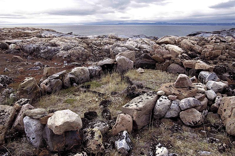
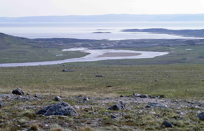
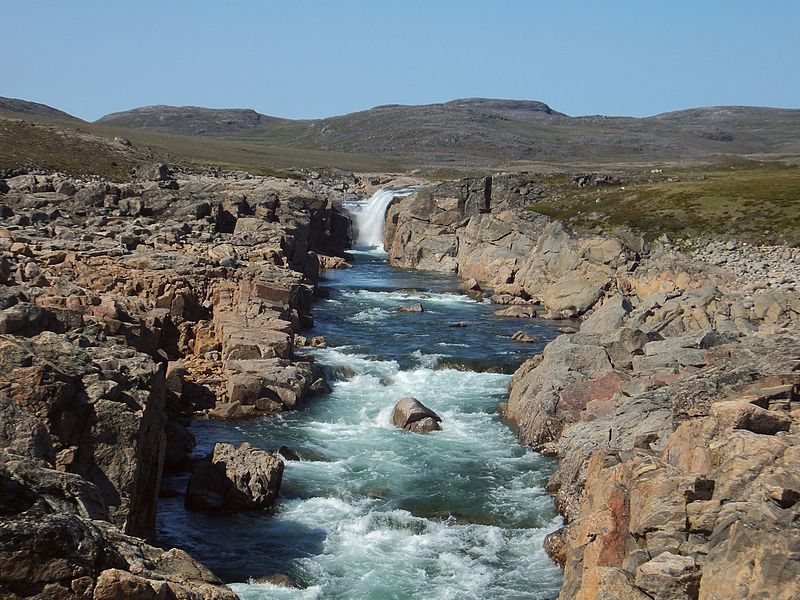
Ukkusiksalik National Park is a national park in Nunavut, Canada. It covers 20,885 km2 of tundra and coastal mudflats south of the Arctic Circle and the hamlet of Naujaat, from Hudson Bay's Roes Welcome Sound towards the western Barrenlands and the source of Brown River. The park surrounds Wager Bay, a 100 km -long inlet on the Hudson Bay. Although the smallest of Nunavut's four national parks, it is the sixth largest in Canada. Its name relates to steatite found there: Ukkusiksalik means "where there is material for the stone pot". ()
Location
Nunavut
ContactAdd
Social media
Add
Best Ways to Experience the Park
Wildlife
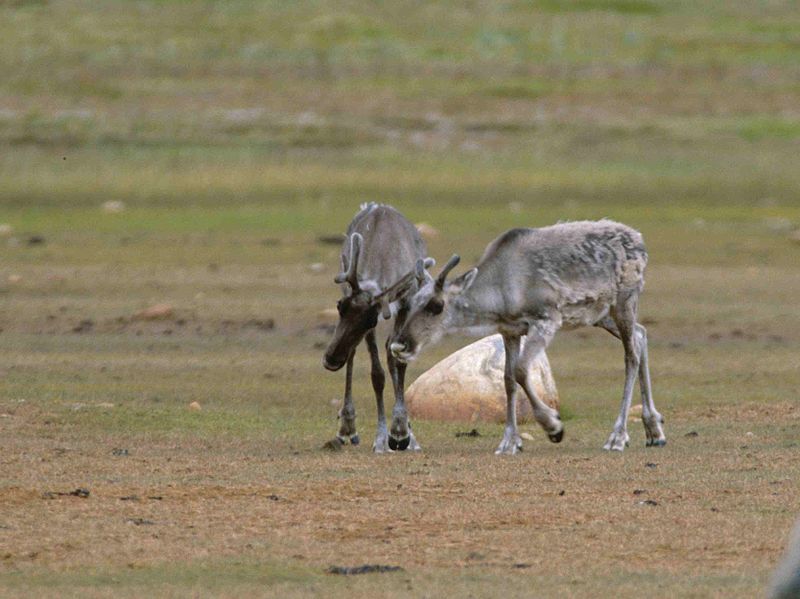
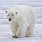
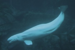
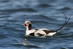
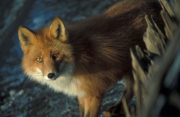
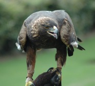
AnimalsSee what popular animal species you can meet in this location.
More
Show more


