Henley Bridge, St. Catharines

Map
Facts and practical information
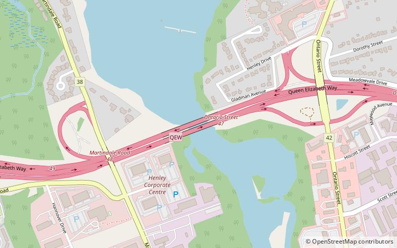
The Henley Bridge is a multi-span open spandrel concrete arch bridge in St. Catharines, Ontario, Canada. The bridge carries eight lanes of traffic of the Queen Elizabeth Way in an east–west direction over Twelve Mile Creek. The bridge was built during the late 1930s and formally opened on August 23, 1940. ()
Length: 715 ftCoordinates: 43°10'43"N, 79°16'21"W
Address
Port DalhousieSt. Catharines
ContactAdd
Social media
Add
Day trips
Henley Bridge – popular in the area (distance from the attraction)
Nearby attractions include: Meridian Centre, Gatorade Garden City Complex, Fairview Mall, Port Dalhousie.


