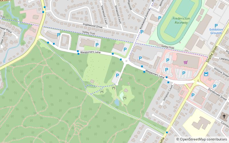
Odell Park, Fredericton
Map
Facts and practical information
Odell Park (address: 350 Rookwood Ave) is a place located in Fredericton (New Brunswick province) and belongs to the category of park, golf.
It is situated at an altitude of 66 feet, and its geographical coordinates are 45°57'29"N latitude and 66°39'48"W longitude.
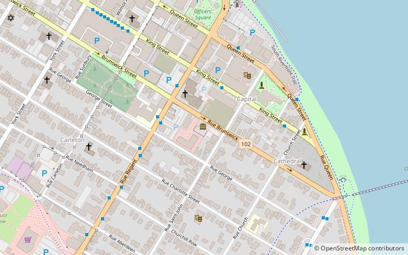
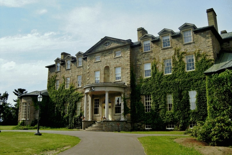
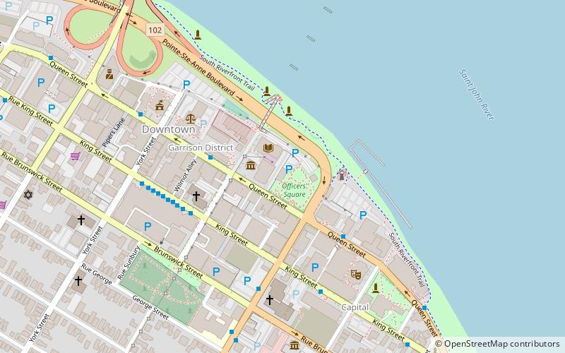
Among other places and attractions worth visiting in the area are: Wilmot Park (park, 13 min walk), Government House (museum, 17 min walk), St. Anne's Chapel (church, 20 min walk).
Elevation: 66 ft a.s.l.Coordinates: 45°57'29"N, 66°39'48"W
Day trips


Frequently Asked Questions (FAQ)
Which popular attractions are close to Odell Park?
Nearby attractions include Wilmot Park, Fredericton (13 min walk), Government House, Fredericton (17 min walk), St. Anne's Chapel, Fredericton (20 min walk), Fredericton South, Fredericton (22 min walk).