Vancouver Island
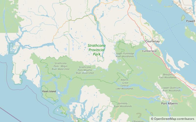
Map
Map

Facts and practical information
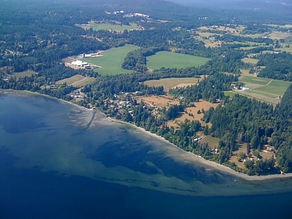
Vancouver Island is an island in the northeastern Pacific Ocean and part of the Canadian province of British Columbia. The island is 456 km in length, 100 km in width at its widest point, and 32,134 km2 in area. The island is the largest by area and the most populous along the west coasts of the Americas. ()
Location
British Columbia
ContactAdd
Social media
Add
Day trips
Vancouver Island – popular in the area (distance from the attraction)
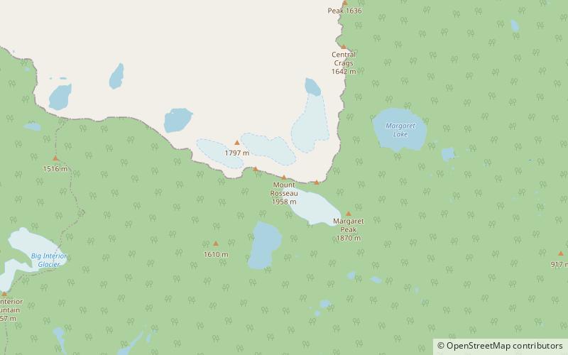
Nearby attractions include: Della Falls, Mount Myra, Mount Rosseau, Mount Septimus.
