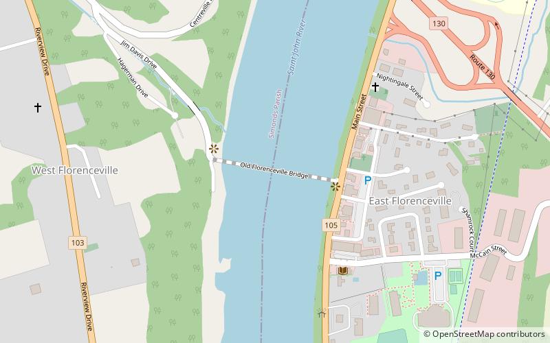
Florenceville Bridge
Map

Map

Facts and practical information
The Florenceville Bridge is a wooden covered bridge combined with a steel trusses which crosses the Saint John River at Florenceville, New Brunswick, Canada. Built in 1907, the 46.9 metre bridge has one wooden Howe truss span, four steel through trusses and one plate girder span. The bridge evolved from a five span uncovered Burr Truss bridge built in 1885. One Burr span was converted to a covered Howe truss and in 1907 the others were converted to steel trusses. ()
Opened: 1887 (139 years ago)Coordinates: 46°26'30"N, 67°37'17"W
Day trips
Florenceville Bridge – popular in the area (distance from the attraction)
Nearby attractions include: The Andrew & Laura McCain Art Gallery.

